> From the WeatherWatch archives
Much of the news lately has been focused on eastern, northern and central New Zealand – mainly because these areas have had fog, warmth, hurricane force winds, snow and sun.
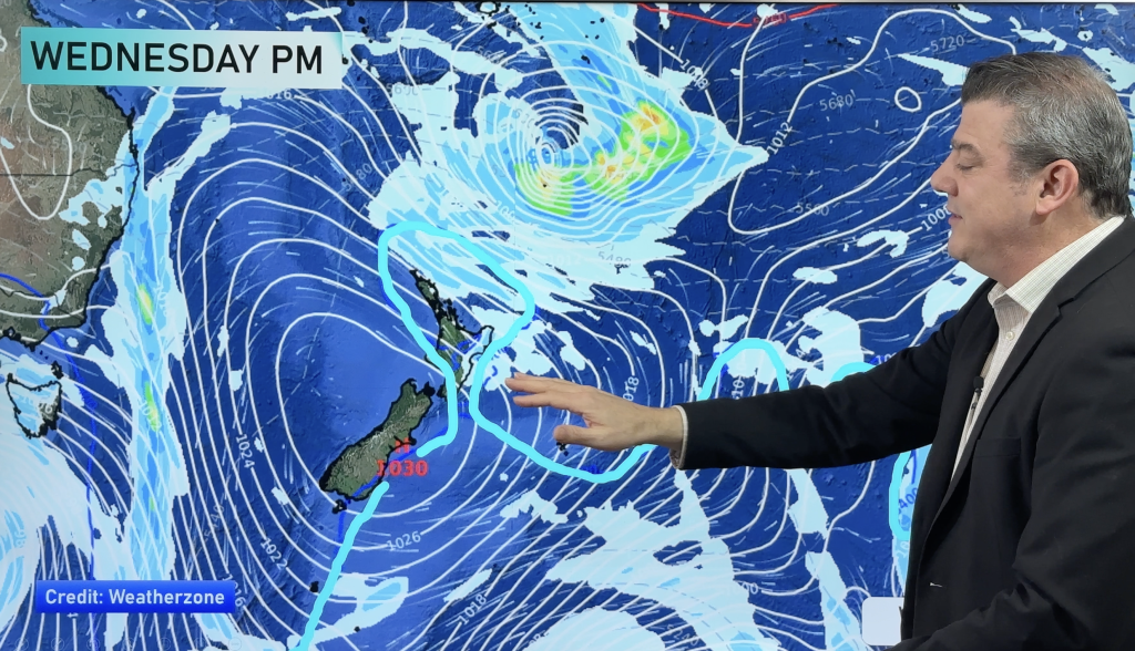
The western coastline – whether that’s the West Coast or the North Island’s west – can expect to see showers continuing today and easing on Friday.
The further south you are the more of the wet stuff is expected.
For the West Coast of the South Island a deep low hugging Antarctica is firing up rain bands and showers for the next couple more days.
This same south west flow will carry those showers up the North Island’s west coast, as far as Northland.
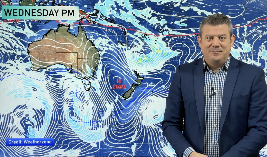
But as the sou’wester eases on Friday, so too do the showers in the north. One or two isolated showers could linger into Saturday – and again more gloomy clouds could also impact the weather on Saturday as a high rolls in from Sydney.
Showers will remain around the South Island’s West Coast all weekend.
Eastern areas are expected to remain mostly dry and sunny over the next few days. however there is a low chance of a shower today in Otago.
– Homepage image / File, Franz Krippner
– WeatherWatch.co.nz
Comments
Before you add a new comment, take note this story was published on 25 Jul 2013.


Add new comment