> From the WeatherWatch archives
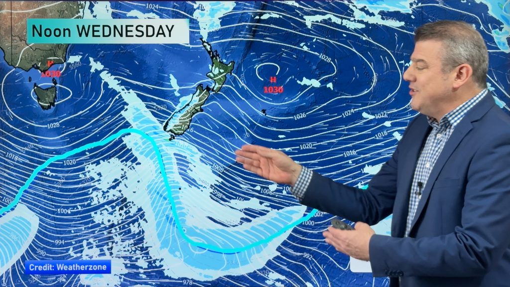
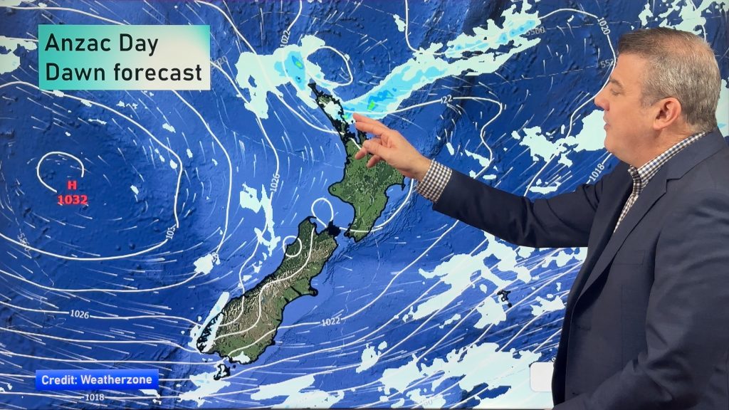
Parts of the country are in for a very wet and windy weekend, while down south it’s looking bitterly cold on Saturday, with a very high chance of some heavy snowfall.
Canterbury, Southland, and Otago all look like receiving snow at some point on Saturday, while areas of rain – some heavy falls – will be crossing the country at the same time in the North Island.
Some heavy falls carry the risk of more localised flooding – particularly around Auckland – as we saw on Wednesday this week, though this system is moving faster and in a different direction.
There’s the chance of snow for the North Island too, overnight Saturday and early Sunday is looking likely about the Central Plateau and along the East Coast down as low as 200m, but it should ease away quickly come Sunday morning.
As always, keep an eye on road conditions and warnings – particularly around areas of North Island motorways prone to winter closures.
Some of the rain coming with this system will also set in across the top half of the South Island, though the real risks in the south are snow related.
Farmers in the South Island are well advised to take note and keep an eye and ear on the latest warnings – we’ll continue to monitor conditions and put forward updates if necessary on Saturday.
– WeatherWatch.co.nz
– Photo: Alexander May
Comments
Before you add a new comment, take note this story was published on 17 Jul 2015.


Add new comment