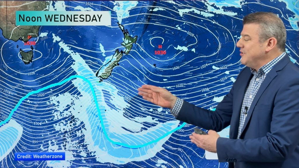
Risks for Thursday – wind, wind, wind (and some rain)
26/11/2014 6:00pm

> From the WeatherWatch archives
The main threat to any picnics or outdoor activities today will be the strong westerlies blowing across the country as a result of the big weather system which simply refuses to budge this week.
Strong northwesterlies about the Cook Strait will again make for an uncomfortable ferry crossing, blowing to gale force at times for the lower north and upper South Islands.
Further south, Foveaux Strait will also get it in the teeth through the day – though the strong westerlies should ease in the afternoon.
Along the east coast, all the way from Mid Canterbury up to Wairararpa winds will gust strongly, and possibly up to gale force, about exposed places – high peaks, river gorges, etc.
North Westland can expect some morning rain, but the good news is it won’t stick around for long.
– Aaron Wilkinson & Drew Chappell, WeatherWatch.co.nz
– Map: Earth.nulschool.net
Comments
Before you add a new comment, take note this story was published on 26 Nov 2014.


Add new comment