RainWatch – Rain finally moves into the South Islands West Coast
19/07/2020 7:00pm

> From the WeatherWatch archives
An easterly quarter airflow still brings a few showers to the North Island today, especially in the east. Meanwhile for the South Island conditions are dry in the east and rain builds along the West Coast with heavy falls for South Westland from afternoon. A cold front moves onto the lower South Island overnight.
The aforementioned cold front moves off the upper South Island and onto the western North Island on Tuesday morning. This brings a period of rain with heavy falls. Some rain spills over from the west affecting the North Island’s east coast as this front moves northwards. A wet day for the West Coast of the South Island, mainly dry in the east but there may be a few early spots of rain then clearing.
A cold southwest change brings rain to Southland later in the evening, moving northwards reaching Canterbury around dawn on Wednesday.

Cooler southwesterlies for much of the country on Wednesday and Thursday with showers, mainly in the west but eastern regions see showers as fronts move through. Friday sees conditions ease, still showers in the west, dry in the east. Dry for eastern regions over the weekend, still the odd shower possible in the west but these will be more likely the further south you head.
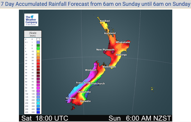
For rainfall accumulation maps for 1, 2 and 3 days out please visit our new maps page: https://www.weatherwatch.co.nz/maps-radars/rain/accumulative-rainfall
By Weather Analyst Aaron Wilkinson – WeatherWatch.co.nz
Latest Video

Matariki, the long weekend + the outlook for next week
Wet weather and cloud continues along the eastern side of the country with the heaviest rain now moving into northern…
Related Articles
Matariki, the long weekend + the outlook for next week
Wet weather and cloud continues along the eastern side of the country with the heaviest rain now moving into northern…

More eastern rain, but a drier long weekend coming
Rain continues today along the eastern South Island and lower North Island, coming in from the east with heavy falls….

More heavy rain, snow – but large dry areas, especially as we go into the long weekend
Heavy rain will continue for parts of Canterbury and Marlborough over the next day or two and it will gradually…

