NZ’s 14 day rainfall outlook: Dry places get drier, wet regions get wetter (+4 Maps)
27/01/2020 7:27pm

> From the WeatherWatch archives
High pressure, windier westerly quarter winds, and sub-tropical and Australian airflows will all help to combine to make for a drier and hotter than average two weeks ahead for abour two thirds of New Zealand.
The North Island looks especially dry as does the top and north east of the South Island (especially Marlborough and North Canterbury).
Some places over the next 14 days will receive no rainfall at all. Many others, over a large area, will have just 1 to 5mm, maybe 10mm. There may be some very isolated heavier falls possible but generally not in the main forecast.
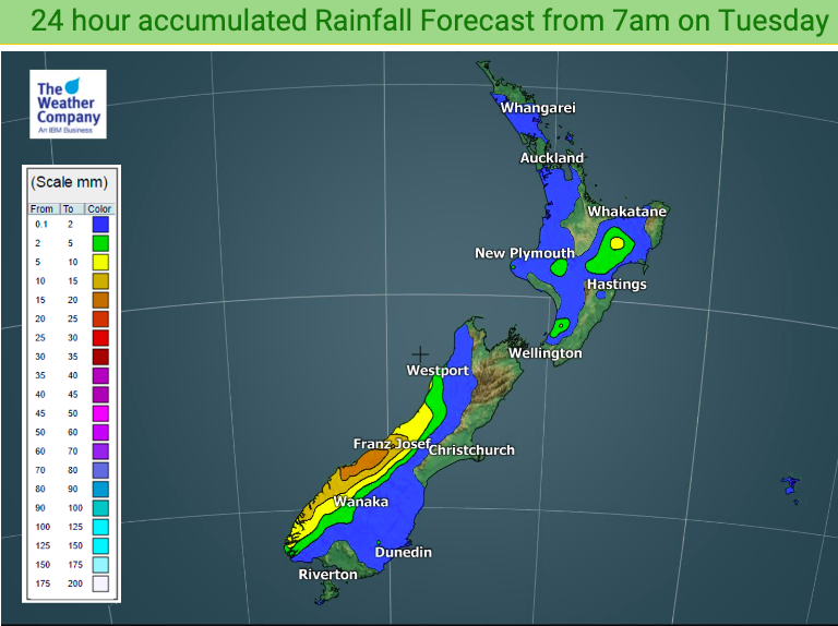
The heavy rain continues to affect the Southern Alps though, with the West Coast shouldering 200 even up to 300mm over the coming fortnight.
Again, Southland and Otago continue to get the side effects of this western rain with some rain/showers coming your way still.

NEXT 14 DAYS ACCUMULATED RAINFALL: (Key highlighted in red showing how little rain is expected)
NEXT 14 DAYS: (Key highlighted in red showing the intense rain on the West Coast – while North Canterbury, Marlborough and over towards Nelson share similar low values as the North Island)
– WeatherWatch.co.nz
Latest Video

Antarctic southerly for parts of NZ Fri & Sat
For the first time this year a southerly from off Antarctica is heading towards the South Island, followed by more…
Related Articles
Antarctic southerly for parts of NZ Fri & Sat
For the first time this year a southerly from off Antarctica is heading towards the South Island, followed by more…

Meteors – Your Eyewitness Reports!
WeatherWatch.co.nz receives meteor reports from all over New Zealand and the globe, 24/7/365. **CASUAL COMMENTS**If you’ve seen something in the…

Snow, rain showers & cold polar southerlies set to return
Friday will be a wintry day across NZ as the next cold front arrives, bringing snow to lower levels of…

