> From the WeatherWatch archives
Niwa has conceded last month’s record-breaking rain and flooding was a far cry from the average rainfall predicted in its summer weather outlook.
The outlook for November to January was for near-normal rainfall across the country, with temperatures near average in the North Island and above average in the South Island.
Instead, wet weather lashed the country and a state of emergency was declared in Nelson last month following record-breaking rainfalls that closed roads, caused flooding and slips and forced households to evacuate.
Niwa principal climate scientist James Renwick today said the pre-summer outlook did not turn out quite as expected, but said it was “very interesting” how it had played out.
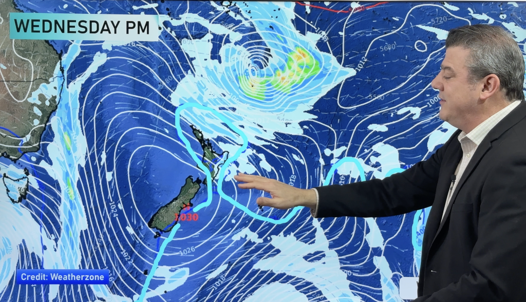
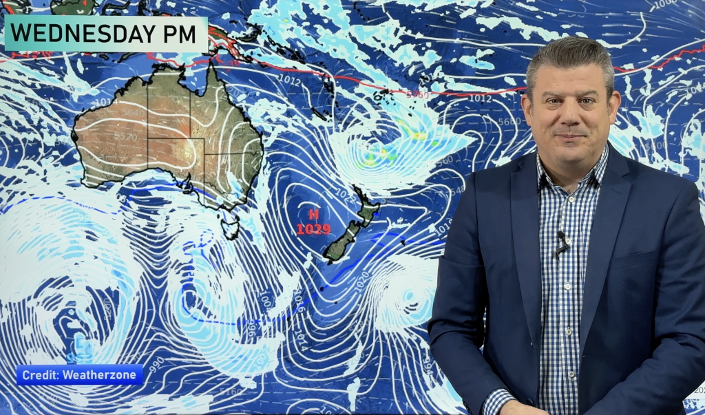
“In broad terms the patterns we expected have come out much as we expected, with the big high pressure systems to the east of the country and a tendency towards winds from the north.”
But the anticipated highs, brought on by the ongoing La Nina, did not extend over the country to the extent anticipated.
“They did do that the previous summer, so we tended to have a somewhat drier La Nina last year than we’ve had this year.
“What’s happened is that those high pressure systems have sat to the east of the country.
“They haven’t really dominated the weather over the country itself, and that’s left the way open for these storms to have much larger effects on New Zealand than the previous year – or indeed larger effects than were expected by the various climate models back in November.”
Niwa’s annual climate summary, released today, shows 2011 was a year of weather extremes, from a deadly tornado and snow flurries in Auckland, to last month’s destructive storms.
Dr Renwick said last year overall was “quite remarkable” in terms of heavy rainfall, thunderstorms, lighting, tornadoes and other localised events.
It was dominated by a strong La Nina that eased over winter and edged back in spring, causing the weather to oscillate between exceptionally hot temperatures in the first half of February to icy polar blasts mid-year.
Of the six main centres, Auckland was the warmest, Tauranga the sunniest and Christchurch the driest.
Overall, temperatures were above or near average across the country, making last year the 17th warmest since 1909 – a finding that may come as a surprise as the dreary summer weather continues and memories of the polar blasts still linger.
Mean annual temperatures were as much as 1.2C above average in the northeast of the North Island and the north of the South Island, and were up 0.3C above average overall.
The first half of February brought exceptionally hot weather, while winter arrived extremely late – May was the warmest on record, while June was the third warmest.
That was followed by the bitter cold of an icy polar blast towards the end of July, and another polar blast in mid-August that brought snow to some surprising places.
Snow fell at unusually low levels across the South Island and suburban Wellington, while flurries reached as far north as Auckland and Northland.
“It will probably be many decades before we see that kind of thing again,” Dr Renwick said.
Of the main centres, Auckland’s average annual temperature was 15.9C, Tauranga’s 15.7C, Hamilton’s 14.1C, Wellington’s 13.1C, Christchurch’s 11.6C and Dunedin’s 11.4C.
The highest recorded temperature was at Timaru on February 6, when temperatures reached an unbearable 41.3C, an all-time high for the area.
The lowest recorded temperature was at Manapouri on July 26, with a low of minus 10.2C, also a record for the area.
Half of the year was wetter than normal, while two months were drier.
The wet weather caused chaos, with states of emergency in the Hawke’s Bay in April and Nelson-Tasman last month.
Dr Renwick said there had been “quite phenomenal” rainfalls.
“Beyond those there were actually quite a lot of flood events. This time, January, we had three tropical storms head our way and across the North Island, and there were quite heavy rains across a lot of the North Island in January.”
Average rainfall totals were more than 120 per cent of normal in parts of Auckland, Northland, Coromandel, Bay of Plenty, Nelson and Central Otago, as well as much of the central North Island.
Kaikoura, Canterbury and much of Fiordland and Westland were drier than normal.
Most of the main centres received more rain than normal, with Tauranga receiving the biggest increase.
Annual rainfall there was 1698mm, or 140 per cent of normal, while Auckland received 1540mm, or 131 per cent of normal, Hamilton got 1538mm, or 127 per cent of normal, and Wellington got 1380mm, or 110 per cent of normal.
Christchurch and Dunedin were drier than usual, with Christchurch receiving 621mm, or 99 per cent of normal, and Dunedin 660mm, or 82 per cent of normal.
The wettest area was the Cropp River on the West Coast, with 9493mm of annual rainfall, while the driest was Clyde, with just 395mm for the year.
The highest one-day rainfall was recorded in Takaka on December 14, at the height of the Nelson-Tasman deluge, with 392mm, an all-time daily record there.
Nelson residents still reeling from the downpours may not believe it, but their city was again the sunniest, with 2487 sunlight hours.
Of the main centres, Tauranga got the most sun, with 2271 hours, followed by Christchurch with 2030, Auckland with 2009, Wellington with 1954, Hamilton with 1941 and Dunedin with 1804.
Higher than usual sea pressures brought more northeasterly winds than usual over northern and central New Zealand, driving the higher temperatures and above normal rainfall.
The blustery conditions struck with fatal consequences in May, when a tornado ripped through a busy Albany shopping centre, killing one person and leaving a trail of destruction.
But the distinction of the highest gust goes to Cape Turnagain, south of Hawke’s Bay, which recorded a gust of 189kmh.
Niwa’s latest three-month outlook was for the wet weather to hang around until at least March, with La Nina expected to bring above normal rainfall to the North Island and below normal to the South Island.
Dr Renwick said the La Nina system was coming to its tail end.
“We’ve had La Nina almost continuously for a year or more now and this current event is set to ease off and die out during autumn. It will be mostly gone by April.
“But in the meantime, for the next two or three months, we’re forecasting on average more of the same.”
That would make the weather warmer than average, but wetter in the north and drier in the south.
– Homepage image / File, MandenoMoments.com
– APNZ
By Matthew Backhouse
Comments
Before you add a new comment, take note this story was published on 14 Jan 2012.


Add new comment
RW on 14/01/2012 5:31am
It’s that “20%” – the chance that it would be wetter. In this case it was right at one end of the spectrum. Every La Nina is different – Wellington’s December and/or January weather in the episodes of 1964/65, 1988/89 and 2007/08 was nothing like what was experienced so far this time round.
Reply