> From the WeatherWatch archives
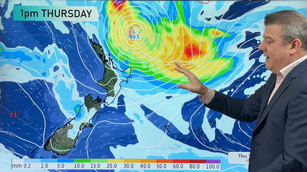
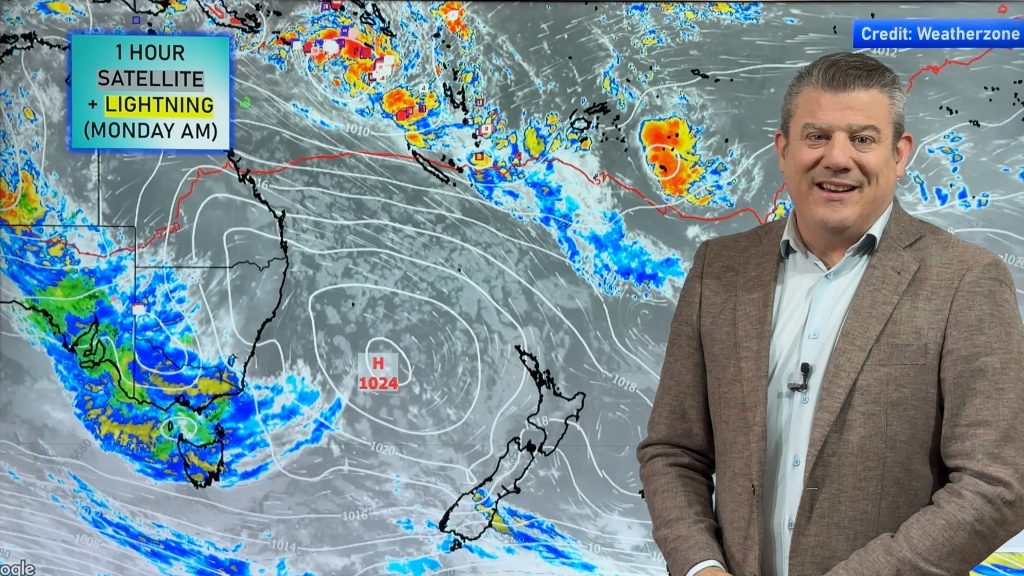
A high departs New Zealand to the east, while a warm front moves into the Tasman Sea – extending out from a low pressure system off the east coast of Australia.
While this is going on, a northeasterly airflow lies over New Zealand itself.
For the North Island we have northeasterly winds for most, along with cloudy skies.
Parts of the lower North Island (Wellington, Manawatu) will see high cloud, with winds breezy from the northwest.
There may be a light shower or two about northeastern coastlines overnight – in eastern Northland, Coromandel and the Bay of Plenty.
For the South Island, there will be fairly cloudy skies – low cloud in the west, and high cloud out east.
The warm front mentioned earlier moves onto the West Coast of the South Island from late afternoon onwards, bringing rain – which becomes heavy late in the day.
A few spells of rain spread into Southland & Otago from late afternoon, then into Canterbury later in the evening.
Rain on the east coast won’t be as heavy as the west – but anything is welcome, and farmers will appreciate every drop.

– Aaron Wilkinson & Drew Chappell, WeatherWatch.co.nz
Comments
Before you add a new comment, take note this story was published on 6 Jan 2016.


Add new comment