> From the WeatherWatch archives
– TROPICAL STORM INTENSIFIES
– PREDICTIONS OF A SUPER LOW IN THE SOUTH
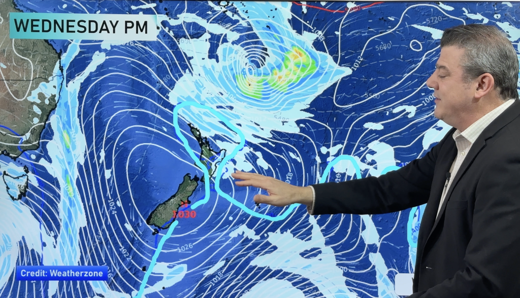
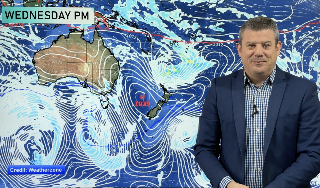
A tropical storm is developing where the Coral and Tasman seas meet and is expected to quickly intensify over the next 24 hours.
The tropical low is likely to bring showers or rain this weekend to many parts of the country, starting Friday and ending Monday. Strong winds are also a possibility across northern and southern NZ.
Head weather analyst Philip Duncan says decent rainfalls are definitely possible. “This is your typical La Nina tropical low and it’s coming from the right direction as far as increased rainfall is concerned. The West Coast of the South Island and maybe Nelson and Mt Taranaki will see big rainfalls”.
Duncan says longrange forecasts from weather.com show shower activity from Waikato and Bay of Plenty northwards from Friday night to Monday morning. “At this stage rainfall predictions still aren’t high for these areas and as with any tropical storm it’s very difficult to predict their exact paths too far out”.
Meanwhile a low in the Southern Ocean is expected to pull moisture from the tropical storm creating a super depression in the southern ocean bringing severe gales to Southland, Otago and maybe Canterbury and adding to the rainfall totals on the west coast.
“Despite the strong winds, this storm will bring much welcome rain to dry farms, gardens and water catchment areas. Heavy rain last week eased drought conditions considerably in Canterbury and this system could be a drought breaker for areas south of Canterbury and ease dry conditions in Nelson and Taranaki. I’d say Waikato has a little way to go yet though”.
TRN’s Weather Watch Centre will closely monitor these systems over the next few days.
Comments
Before you add a new comment, take note this story was published on 19 Feb 2008.


Add new comment