> From the WeatherWatch archives
A beautiful Monday is expected across the country.
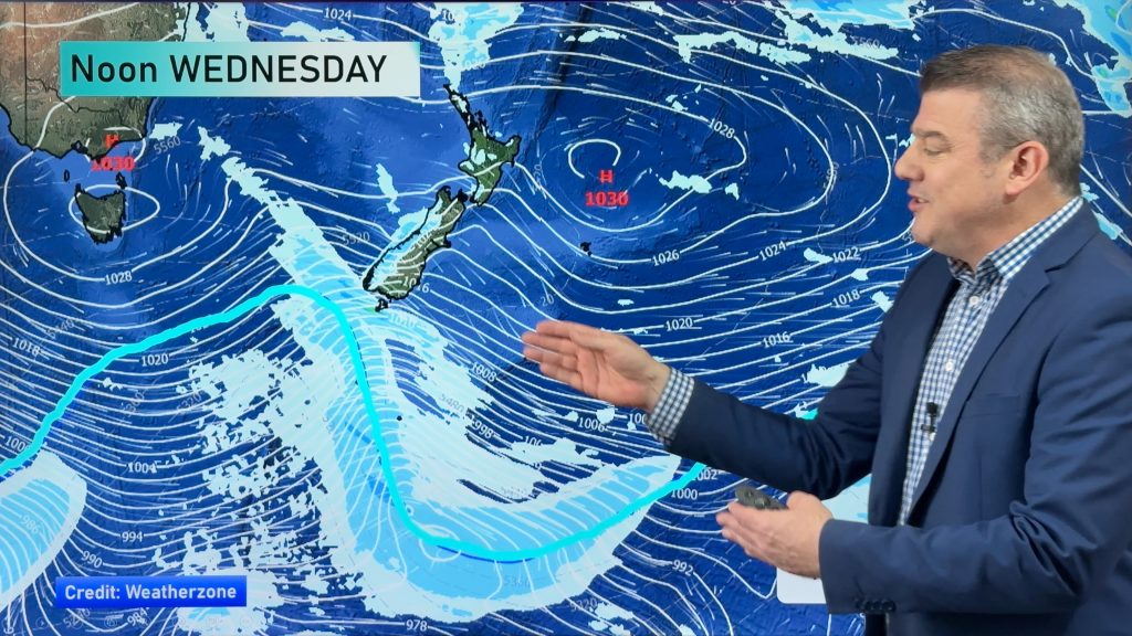
A large ridge of high pressure will spread over New Zealand today, making for a dry and settled start to the week.
However, despite the widespread dry weather, there could be a few passing showers about the coastal sections of Bay of Plenty, Gisborne and Hawkes Bay. The best chance of this would be during the morning and afternoon. Chances will diminish late in the day.
Otherwise, look for plenty of sunshine for both islands today. There will be a healthy dose of clouds mixed in for the northern and eastern sections of the North Island as well as the lower South Island.
Highs today will range from the upper teens to the lower 20’s. A few mid 20’s are possible about the upper South Island as well as Northland, Auckland and the Coromandel Peninsula.
By WeatherWatch Analyst Howard Joseph
Comments
Before you add a new comment, take note this story was published on 4 Mar 2012.


Add new comment
Derek on 5/03/2012 12:47am
In Whangarei we seem to have another dose of anticyclonic gloom with odd drizzle..except for brief sun patches it is bright cloud..Only 19 on our patch right now, was 9 deg @ 7am.. Not what I was hoping for after a cracker day yesterday.
Reply
sw on 5/03/2012 4:46am
Looks as if an easterly flow is getting established,hence the cloud Whangarei northwards.
Reply