> From the WeatherWatch archives
High pressure covers much of New Zealand but a cold front is moving up the South Island for Thursday bringing some rain.
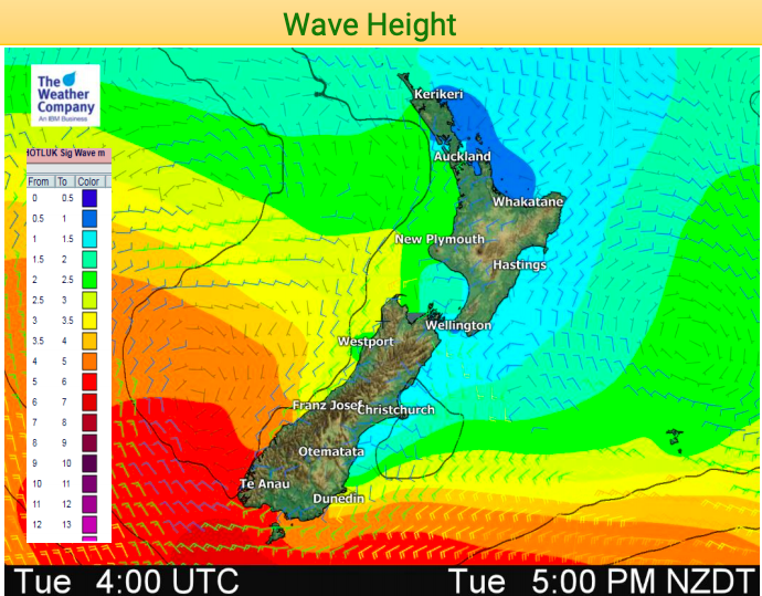
An approaching cold front from the Tasman Sea will encounter a mild, humid air mass over the South Island beginning Wednesday Night and continuing through Thursday. Moderate to heavy rainfall (possibly exceeding 60 mm) will be possible across western sections of the South Island, especially along west-facing mountain slopes.
Behind this front, a westerly flow will continue to bring scattered, lighter showers to western sections of the South Island and southwest sections of the North Island through early Friday.
Generally dry weather is expected for Auckland and Christchurch to close out the week; a few showers along with gusty winds can be expected at Wellington through Friday.
Temperatures for much of New Zealand will be at or above average into the start of the weekend.


– WeatherWatch.co.nz
Comments
Before you add a new comment, take note this story was published on 9 Jan 2019.


Add new comment
Guest on 9/01/2019 11:14pm
Hi
Do you see any rain soon for East Northland area??? So far, just amazing weather.
Reply
WW Forecast Team on 10/01/2019 3:04am
Hi there, we may see a shower today and again this Sunday and Monday, but the next several days ahead look mostly dry with just 0 to 10mm forecast. A lot of high pressure expected over Northland this month.
Cheers
WW
Reply