> From the WeatherWatch archives
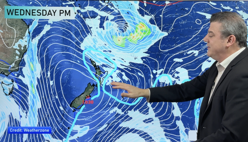
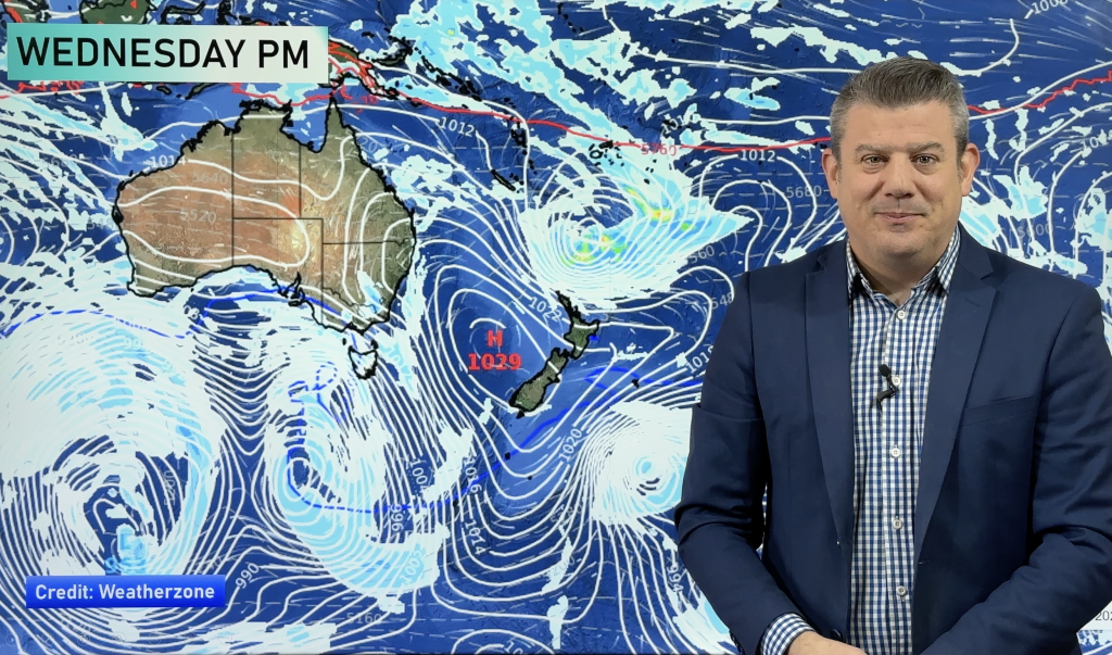
A large area of rain and showers has this afternoon cleared Northland and Auckland but is now pushing into Bay of Plenty as the centre of the damaging weekend low gets closer to landfall.
The centre of the low is expected to cross just south of Auckland tonight and into Bay of Plenty overnight. It means more heavy showers will push across northern and western parts of the North Island for the next 6 to 12 hours, although the worst has now cleared most places with sunny spells developing.
Conditions are not expected to be severe this evening.
Behind the low is a change to clearer and cooler southerlies, which have already brought a beautiful day to much of the West Coast.
Clearing skies will also push up the South Island tonight.
Frosts are expected across the South Island and possibly into the lower North Island too.
Apart from a few showers about East Cape tomorrow, most places should be dry and sunnier with light winds.
Homepage image / David Shone
– WeatherWatch.co.nz
Comments
Before you add a new comment, take note this story was published on 20 Jun 2011.


Add new comment