> From the WeatherWatch archives
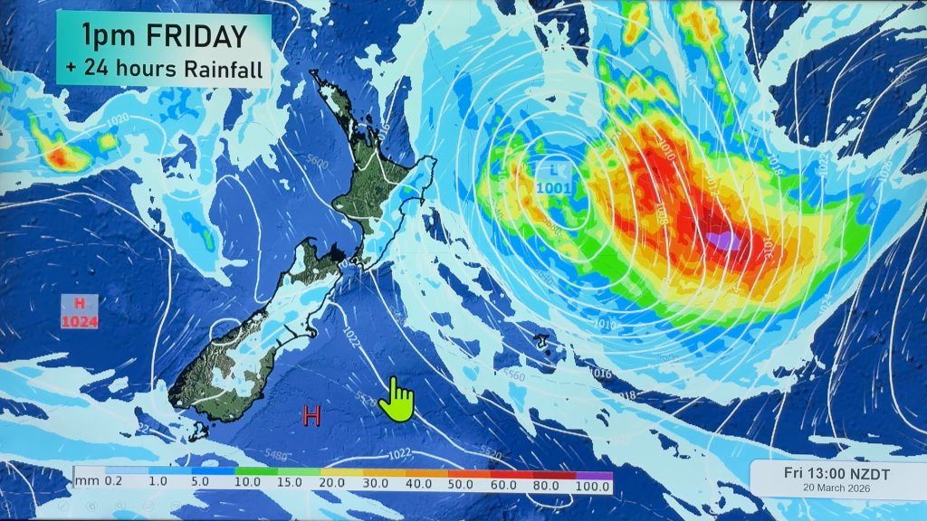
North Islanders – get used to the warm weather. South Islanders – get ready for wind and cold snaps. Autumn is upon us and the Radio Network’s head weather analyst Philip Duncan says the big winter storms are gathering strength in the Southern Ocean. “Some huge lows are forming south of New Zealand and although we might not notice it yet, they are creeping closer every week”.
Duncan says it’s likely the pattern of high pressure systems over the North Island will remain for a few more weeks yet it’ll be the shift northwards of these highs that will bring strong winds to the South. “South Islanders know when Autumn and Spring are truly here – the nor westers fire up”. The South Island lies in the “squash zone” between the northern highs and southern lows at this time of year.
“This means cold snaps are likely to move in to Southland, Otago and Canterbury with the first one expected as early as next week”.
It’s still unclear if the North Island will receive any significant rain in April, but the next 10 days are looking mainly dry despite some showers about on Sunday and Monday.
Comments
Before you add a new comment, take note this story was published on 26 Mar 2008.


Add new comment