> From the WeatherWatch archives

Image updated regularly / Weather.com
For other weather news across New Zealand go to our homepage.
8am Update: Jasper no more. Ex tropical cyclone Jasper has almost completely disappeared after 3 days of confusing and highly unpredictable tracks and forecasts.
But the remnant of Jasper may reform into a new low next week.
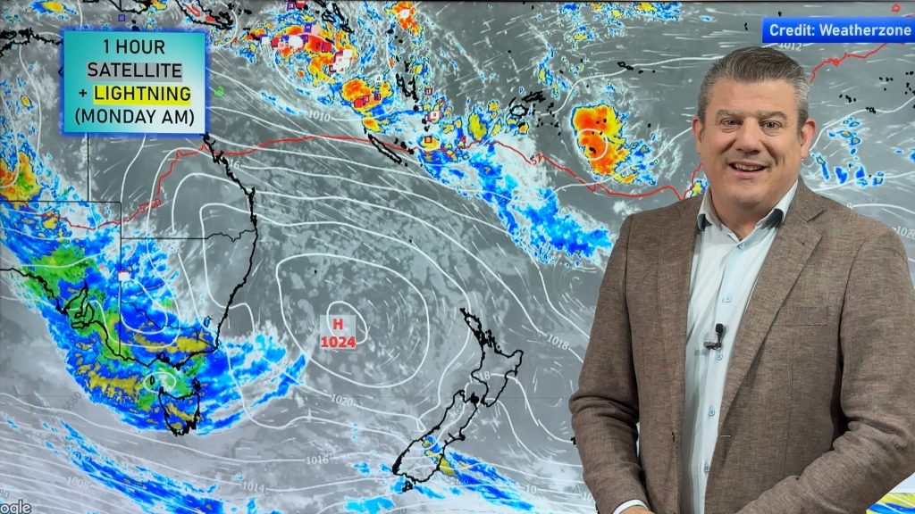
WeatherWatch.co.nz head weather analyst Philip Duncan says any future low poses no real threat to New Zealand but this low may affect eastern Austrlia – or may help drive stronger winds over northern New Zealand. “This low is looking set to reorganise itself in the Coral Sea over the next three days and drift towards the northern Tasman sea on Sunday or Monday”.
But again it’s looking likely that New Zealand will be protected by a high. The Southern Ocean which has recently become very active is going to produce a monster high pressure system – the high is so strong it will manage to shove this new low towards Australia. It will also drive strong south easterlies over northern New Zealand.
Mr Duncan points out that at this stage nothing “severe” is in the forecast for next week, but the weather is definitely in a “quite changeable and unpredictable mode”.
THIS WILL BE THE LAST UPDATE IN THIS PARTICULAR LINK
OLDER STORY
On Wednesday Philip Duncan described forecasts as “frustrating” due to the fact 3 forecasting bodies look after cyclone tracking and reporting in the south west Pacific. “It’s a messy way to track cyclones in our part of the world” says Mr Duncan “There are 3 separate bodies that look after cyclones in our neck of the woods, Australia, Fiji and New Zealand”.
Click “Read More” for a striking infrared satellite of Jasper at his strongest on Tuesday night.
Two different paths? Computer models aren’t sure where Jasper is headed… we believe he’ll track to the south east, then shift south and into the Tasman early next week and weaken into a tropical depression. Image: David Shirley/WeatherWatch.co.nz .jpg)

At its peak.
Image: Jasper looking stunning Tuesday night shortly after a rapid intensification. Image/MTSAT NOAA
Comments
Before you add a new comment, take note this story was published on 25 Mar 2009.


Add new comment
Roger MacKenzie on 24/03/2009 11:57pm
25 March
Hi Phillip
Thanks for the GREAT service.
When will the models show what affect T. C. Jasper will have on Noerthern NZ?
Thankyou.
Roger
Warkworth
Reply
WW Forecast Team on 25/03/2009 12:25am
Nothing conrete as of yet and models more than 3 or 4 days out can flip flop quite significantly… but at this stage Monday sees a low dropping into the Northern Tasman Sea and that squash zone between the low and the high over us may shift down over Cape Reinga/Far North. Further than that, it’s anyones guess.
To complicate things further there are two ‘official’ predictions by two different governments – one shows the storm tracking south east, the other tracking south west…almost opposite directions. Will keep you up to date here and we’ll go with the tracking we believe is the most likely.
Cheers
Phil.
Reply
Roger MacKenzie on 25/03/2009 1:23am
Hi Phil
Thankyou for the update
Roger
Reply