> From the WeatherWatch archives
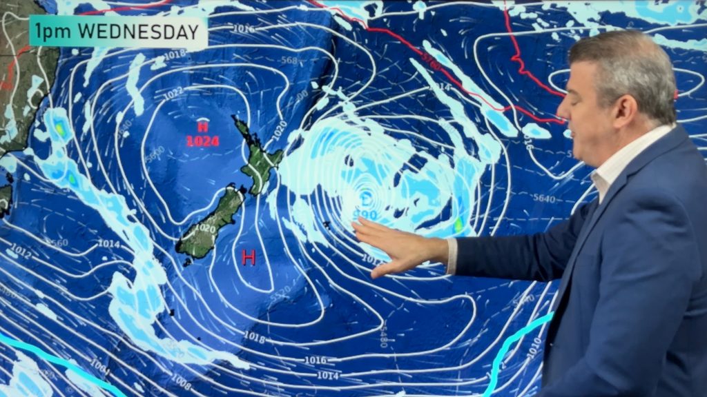
A southwesterly airflow lies over the North Island on Tuesday meanwhile a northwesterly airflow starts to develop over the South Island from afternoon.
About the upper North Island there is a mix of sun and cloud, chance of a shower or two also mainly in the west. Winds breezy or brisk from the southwest.
The lower North Island sees similar conditions in the west, out east it’s mainly sunny with high cloud increasing from afternoon. There may be a few spots of rain in the evening otherwise mainly dry. Light winds for the east coast in the morning then afternoon east to northeasterly winds. Westerlies for much of the day in the west.
The South Island’s West Coast is mainly cloudy, chance of a light shower or two, rain moves into South Westland in the evening pushing northwards overnight with the chance of a few heavy falls.
The east coast of the South Island sees thick high cloud, there may be a few spots of rain out east afternoon / evening especially about Southland and Otago. East to northeasterly winds freshen up in the afternoon for coastal areas, light winds inland.

Not all regions and towns have been mentioned above. For specific 10 day information for your city, town, rural community or island please see the 1500 forecasts on our homepage!
– Aaron Wilkinson, WeatherWatch.co.nz
Comments
Before you add a new comment, take note this story was published on 12 Dec 2016.


Add new comment