
> From the WeatherWatch archives
A weak area of low pressure forms over New Zealand tomorrow in amongst a large area of weak high pressure which stretches north, east, west and south of the country.
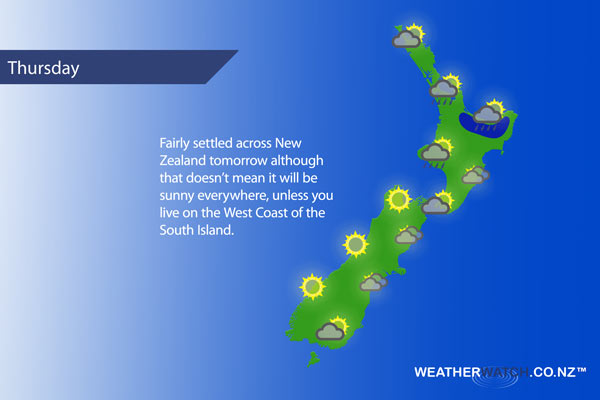
For the upper North Island expect sunny spells for Northland, a few showers pass through the Waikato in the morning then move into Auckland and the Bay Of Plenty for a time. Showers about Auckland may be fairly brief, for the Bay Of Plenty one or two may become heavy then easing in the evening. Winds generally from the west.
The lower North Island sees morning cloud in the west break to sunny spells, a similar situation along the east coast although there is the low risk of a shower or two in the afternoon inland about the ranges.
The South Island is mostly a tale of two halves. Mainly sunny conditions along the West Coast and about Nelson. Southland and Otago may see some morning sun before becoming cloudy in the afternoon. Canterbury and Marlborough (especially coastal Marlborough) is fairly cloudy although some sun may break through in the afternoon.
In the evening showers or some drizzle may form about North Otago and South Canterbury then spreading into most parts of Canterbury overnight.
Not all regions and towns have been mentioned above. For specific 10 day information for your city, town, rural community or island please see the 1500 forecasts on our homepage!
– Aaron Wilkinson, WeatherWatch.co.nz
Latest Video

Wintry weather coming: Snow, rain, wind & sunshine
A cold front is moving into NZ from Friday to Sunday with low pressure developing west of NZ and then…
Related Articles

Polar airflow + northern low = pockets of heavy rain & snow
A colder change is coming – and so too is a large low which will develop and grow over northern…
Wintry weather coming: Snow, rain, wind & sunshine
A cold front is moving into NZ from Friday to Sunday with low pressure developing west of NZ and then…

ClimateWatch: JULY outlook & what El Niño means for NZ
El Niño is officially here and still getting stronger in the months ahead, but it’s harder to notice its effects…

