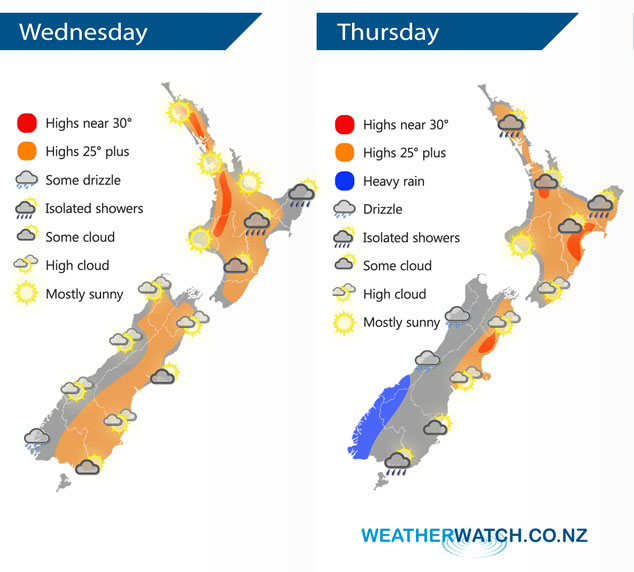
InfoGraphic: The Big Picture for Wednesday / Thursday
25/02/2020 6:00pm

> From the WeatherWatch archives
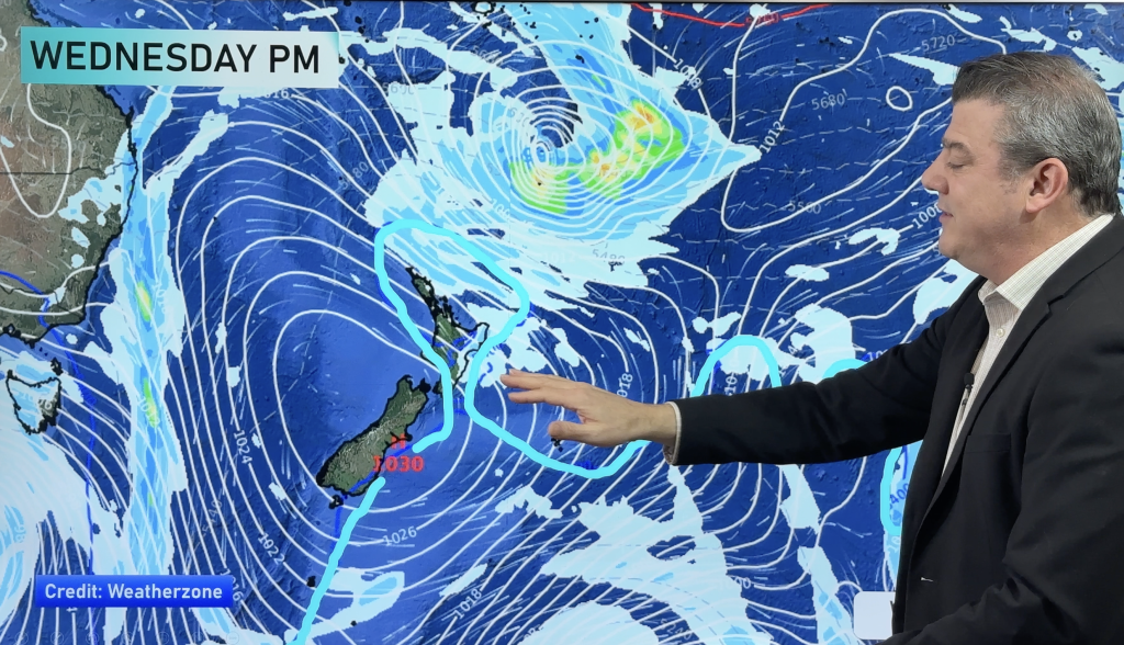
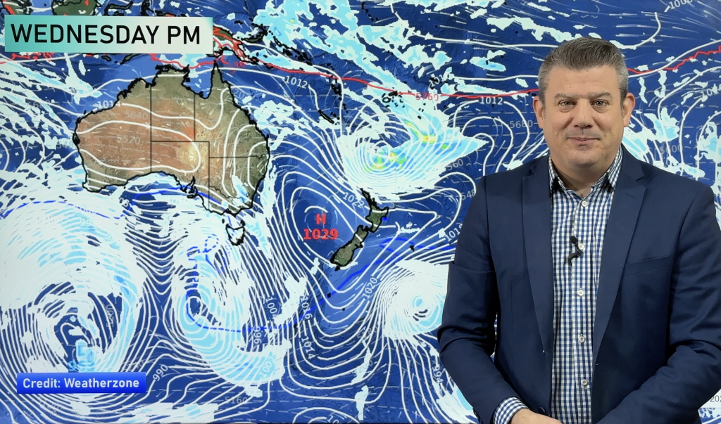
Mainly anticyclonic conditions across New Zealand today bringing mainly settled weather. A front moves onto the southwestern corner of the South Island on Thursday, northerlies further north.
Mostly sunny for the upper / western North Island today. Gisborne sees the risk of a shower this morning then about the ranges of Hawkes Bay / Gisborne later in the afternoon watch for the chance of an isolated shower. The South Island is mainly dry with some high cloud, morning cloud about Canterbury breaks away. A few drizzle patches about Fiordland.
Mostly sunny then a few afternoon clouds for the upper North Island on Thursday, could be an isolated shower late afternoon / evening for a few inland areas or about some hills / ranges. Mostly sunny for the lower North Island, some high cloud. Cloudy for the West Coast of the South Island, some drizzle for most, heavy rain moves into Fiordland during the morning. Mainly dry with some high cloud in the east, a few showers develop about Southland in the afternoon.

By Weather Analyst Aaron Wilkinson – WeatherWatch.co.nz
Comments
Before you add a new comment, take note this story was published on 25 Feb 2020.


Add new comment