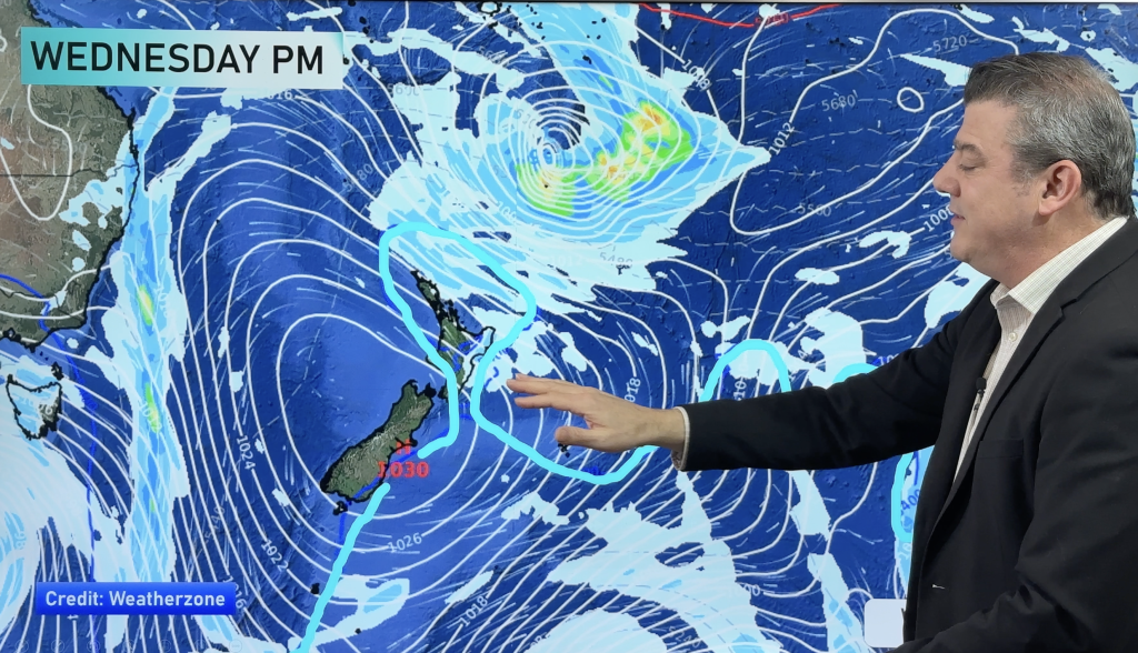
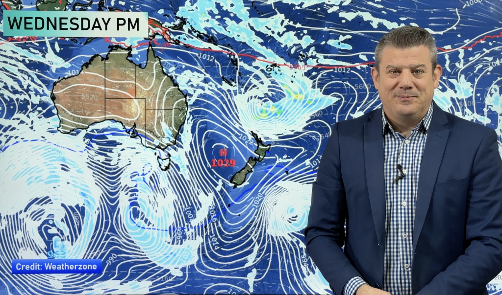
InfoGraphic: The Big Picture for Tuesday / Wednesday
30/03/2020 6:00pm

> From the WeatherWatch archives
A ridge of high pressure lies over the South Island on Tuesday meanwhile an occluded front to the east curls into a weak area of low pressure over the eastern North Island.
Looking drier for the North Island today, the odd isolated shower may creep into Waikato / Bay Of Plenty late afternoon / evening. Rain about Wairarapa may be heavy this morning then easing, mainly dry for Hawkes Bay / Gsiborne however late afternoon isolated showers develop about the ranges, some may become heavy with thunderstorms. Cloud and the odd shower / drizzle patch for eastern parts of the South Island then breaking to afternoon sunny spells, isolated showers possible for inland areas late afternoon / evening. Sunnier conditions out west.
A mix of sun and cloud across most of the North Island on Wednesday, an isolated shower or two possible in the afternoon for the east / north otherwise staying mainly dry for most. The South Island has a largely sunny day, any morning cloud in the east breaks away. Low risk of an isolated shower for Marlborough in the evening about inland hills / ranges.

By Weather Analyst Aaron Wilkinson – WeatherWatch.co.nz
Comments
Before you add a new comment, take note this story was published on 30 Mar 2020.


Add new comment