Heavy rain and strong winds – #WeatherRisks on Wednesday
13/07/2015 7:00pm

> From the WeatherWatch archives
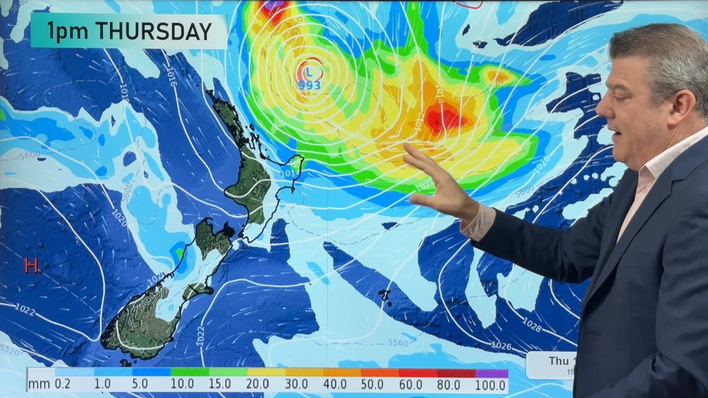
As we forecast earlier in the week, Wednesday is looking like an interesting situation – with a front and low pressure system combining over the North Island, and a northwesterly airflow producing some heavy rain for parts of the South Island.
Buller and the northern part of the West Coast can look forward to the brunt of the wet weather – as well as parts of the northwest Nelson area and the ranges – with Nelson city also shaping up wet.
The rain and showers should continue for much of the day – so it’s something to be aware of in those areas.
Areas of heavy rain are possible about Northland in the morning before moving into Auckland, Waikato and the Bay of Plenty in the afternoon.
That rain may well contain thunderstorms in the Northland and Auckland areas.
Rain then eases about Northland in the afternoon, before easing in Auckland in the evening and further south overnight.
Heavy rain and thunderstorms may continue for much of the night about eastern Bay Of Plenty and the East Cape.
Northeasterly winds will be strong about Northland in the morning, Auckland this afternoon then further south in the evening – gales will possibly keep at bay, but it’s not out of the question for some places right on the coast.
– Aaron Wilkinson & Drew Chappell, WeatherWatch.co.nz
– Photo: Chris Johnson
Comments
Before you add a new comment, take note this story was published on 13 Jul 2015.


Add new comment