> From the WeatherWatch archives
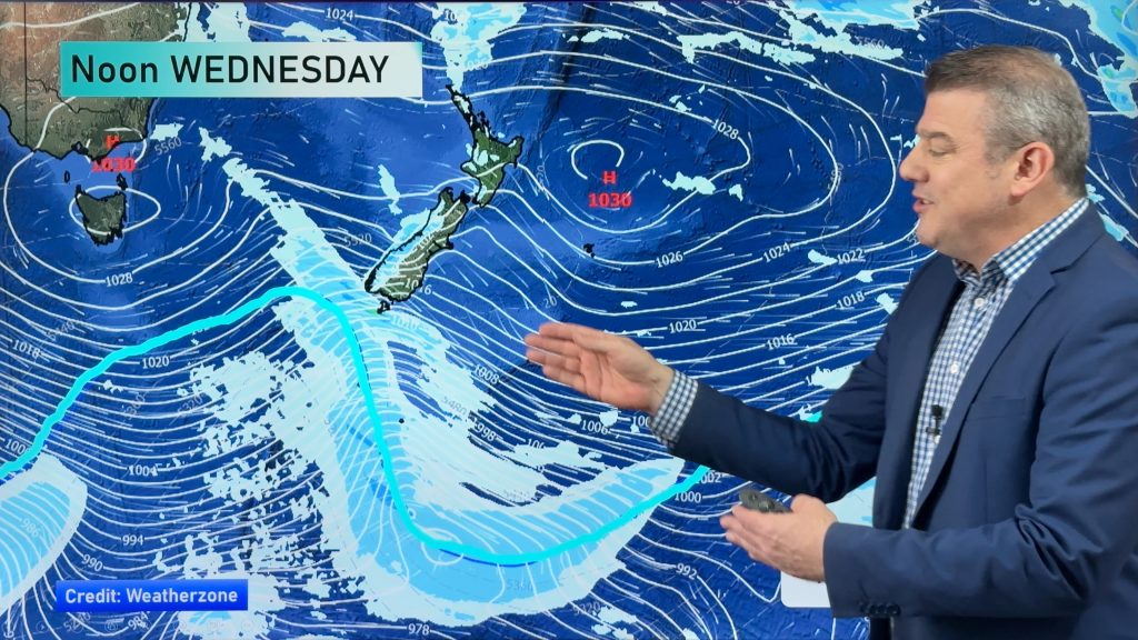
A strong weather system is bringing wind, rain and maybe even some thunder to the country today.
Rain is possible for the entire country, but heavy rain and thunderstorms are expected for parts of the North Island and a small part of the South Island this morning.
The greatest risk for thunderstorms lies with from the western Waikato to Taranaki and then south to far north-western Nelson. Wind gusts of up to 110 kph and rain fall totals of 10-15 mm/hr are possible. A somewhat lesser risk extends north and east of this area. This would include Northland, Auckland, the Coromandel Peninsula, eastern Waikato and Wanganui. On the South Island, the rest of Nelson, extreme western Marlborough and parts of the West Coast are also in this risk area.
Far eastern parts of the country like Gisborne, Hawkes Bay, Christchurch and Dunedin all run the lowest risk of seeing rain today. A few peeks of sunshine are possible in these areas as well.
By WeatherWatch Analyst Howard Joseph
Comments
Before you add a new comment, take note this story was published on 26 Apr 2012.


Add new comment
Peter of Dunedin on 26/04/2012 7:12pm
When are we going to get a decent pour of rain here in Otago? We’re dry,dry dry!
Reply
WW Forecast Team on 26/04/2012 7:48pm
You’ll see a few light showers this morning, if you haven’t already. But they won’t amount to much. A few showers are possible on Sunday too. But again, I don’t think you will see much.
Rain producing systems that are incoming over the next week or so just don’t have Dunedin’s name on them.
Cheers, Howard
Reply