Flooding risk for Hawke’s Bay while rest of NZ faces drier than average week (+9 Maps)
4/09/2018 10:35pm

> From the WeatherWatch archives
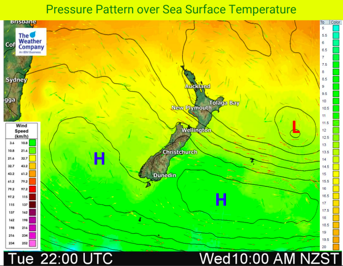
Spring 2018 is starting off calm and quiet in the South Island but wet and windy in the North Island with a rain event for the east becoming more serious today as rainfall totals start to stack up and much more rain is on the way.
It’s a bit of a strange set up for spring which is usually either westerly driven or very chaotic, but for the next five days the North Island has windy south easterlies and rain, heavy at times, continuallyy driving into the eastern side, especially in to Hawke’s Bay and Gisborne where over 75mm of rain has already fallen in some parts.
New estimates of rainfall totals paint a picture of more serious flooding potential, slips and also power cut risks in the next 48 to 72 hours. The rain band is fairly narrow but persistent with heavy falls.
But the rest of the county looks dry, or mainly dry, for the next week ahead. The South Island may even enjoy a fairly dry entire first half of September which is quite rare.


NEXT 7 DAYS: FORECAST RAINFALL COMPARED TO NORMAL (Red = drier than average, white = normal rainfall, blue = wetter than average). Data via US Government.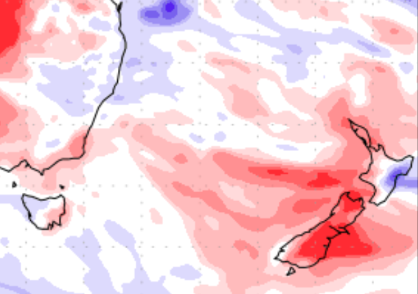
– WeatherWatch.co.nz
Latest Video

Cold weekend, frosts return with high pressure, then a low late next week
The subantarctic airflow spreads over NZ today/tonight and into Saturday, dropping temperatures nationwide. Snow flurries are possible today to lower…
Related Articles
Cold weekend, frosts return with high pressure, then a low late next week
The subantarctic airflow spreads over NZ today/tonight and into Saturday, dropping temperatures nationwide. Snow flurries are possible today to lower…

Wintry burst of weather: Snow, squally showers then sunshine & frosts
A polar change (another one!) arrives on Friday for the South Island and goes nationwide on Saturday, leaving NZ under…

Antarctic southerly for parts of NZ Fri & Sat
For the first time this year a southerly from off Antarctica is heading towards the South Island, followed by more…

