> From the WeatherWatch archives
The wind flow across the country is swinging back to the easterly quarter and, generally speaking, will be with us until at least the start of next week predicts WeatherWatch.co.nz.
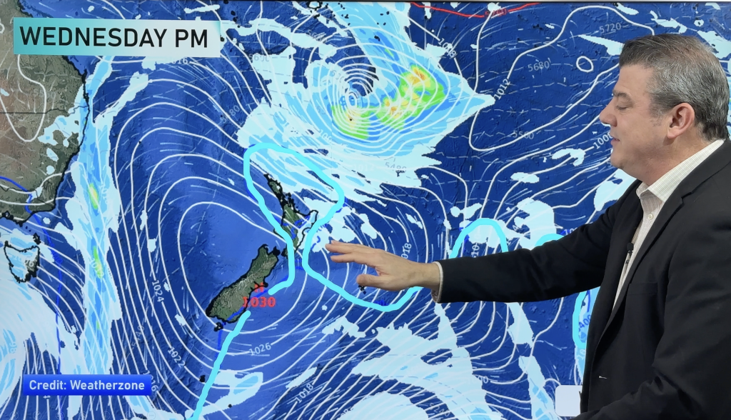
This evening and across Thursday a building south east wind flow will push into central and northern New Zealand while a southerly change for some in the south will start to turn more south east then north east.
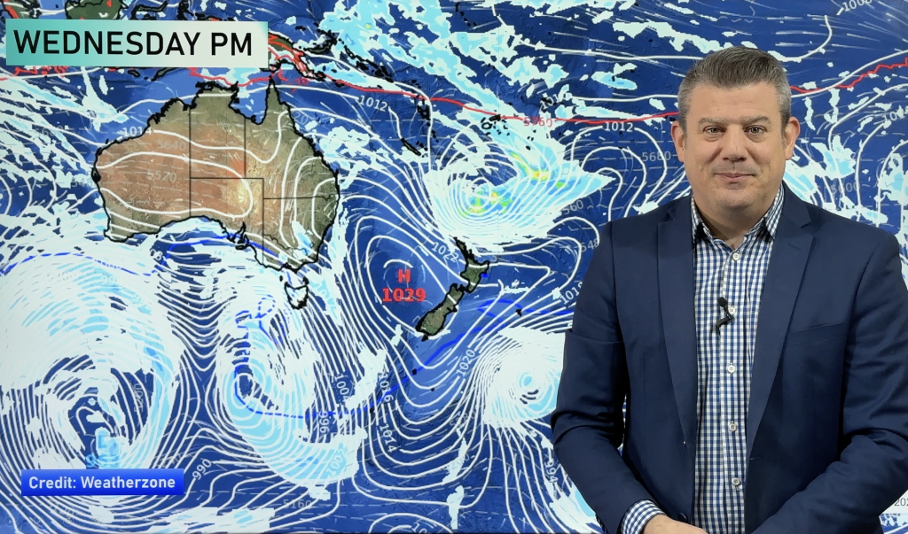
Conditions may be blustery in exposed parts of central New Zealand on Thursday as the sou’easter pushes in – created by a strong high south of New Zealand and a weak low to our north.
And the wind flow isn’t going anywhere fast. While winds speeds should reduce on Friday and Saturday the direction will remain the same until about Sunday or Monday when the next Tasman Sea low moves in.
This next low doesn’t look aggressive but could bring a period of rain with a low to moderate risk of isolated thunder in the north and west.
Easterlies can bring in cloudier and cooler daytime weather to many of our main centres, including Auckland, Whangarei, Tauranga, Napier, Christchurch and Dunedin – but can also help lift overnight temperatures a little.
– Homepage image / GFS for Thursday shows a high to the southeast and winds from the easterly quarter
– WeatherWatch.co.nz
Comments
Before you add a new comment, take note this story was published on 7 Mar 2012.


Add new comment