> From the WeatherWatch archives
Showers, some heavy, are back in the forecast for Canterbury as the unsettled ‘spring-like’ December weather pattern continues.
Conditions as of Tuesday 4pm are mostly dry – but showers should develop from the south this evening and overnight.
Over the next 48 hours wind flows around Canterbury will swing more easterly – this is a much better direction to get showers into the driest areas.
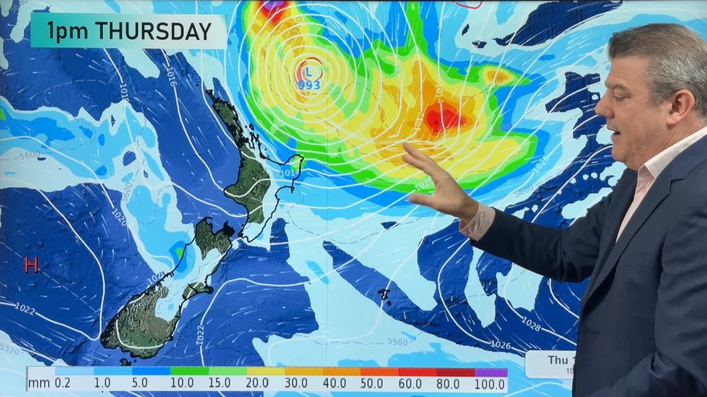
The rain maps show just how messy this set up is over the next couple of days. Some areas have a good chance of “rain” – ie, lasting longer than 30 minutes and covering a larger area than a shower. Many other places around these chunky areas of rain will be just standard showers – hit and miss, some heavy some light and plenty of dry spells.
Weather data we trust from several points across Canterbury back up the hit and miss nautre of the heaviest downpours. Chance of rain, in percentage form, goes from 40% to 90% at varying points across the almost year long drought affected region.
Conditions dry out again across Canterbury at the end of the week – but this weekend isolated showers are again possible and perhaps again next week, around Wednesday (40% and 60% chances respectively).
While no silver bullet to end the drought, or even bring significant widespread relief, the forecast for Canterbury over the next 10 days has plenty of silver linings for those who need rain. WeatherWatch.co.nz hope those who need it most are the ones who receive it.
And finally, Christmas Day looks dry across Canterbury at this stage.
– Image / File, Feb ’15, Chris Johnson
– WeatherWatch.co.nz
Comments
Before you add a new comment, take note this story was published on 15 Dec 2015.


Add new comment