> From the WeatherWatch archives
A slow moving rain band will bring a wet weekend to a number of northern and western facing regions, but driest in the east and south east of both islands.
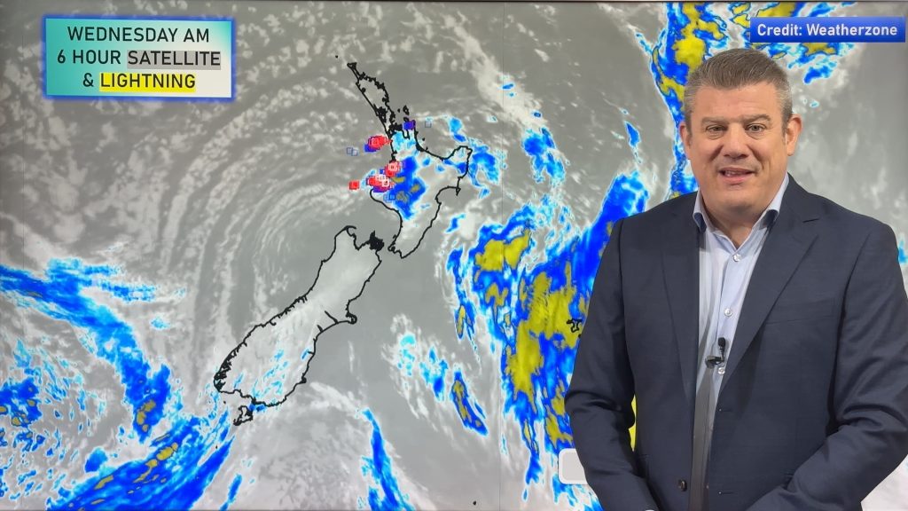
The system has already prompted ‘orange’ rain warnings from MetService for the South Island and WeatherWeather.co.nz says some heavy falls may also impact the North Island this weekend, especially regions like Bay of Plenty and Taranaki.
On the West Coast and Nelson Ranges MetService is forecasting up to 170mm, with WeatherWatch.co.nz/IBM forecasting similar totals, but possibly over 200mm in some central mountains on the coast.
In the upper North Island WeatherWatch.co.nz/IBM is forecasting 80mm in Whakatane over the coming days (with about 50mm of that falling just on Sunday – borderline for a rain warning from MetService and in the past hour they have issued a rain ‘watch’ for these North Island regions). The ranges of Bay of Plenty and East Cape might receive over 100mm – but it depends on the speed of that rain band. (Our weather video out around noon today goes into detail about this particular set up).
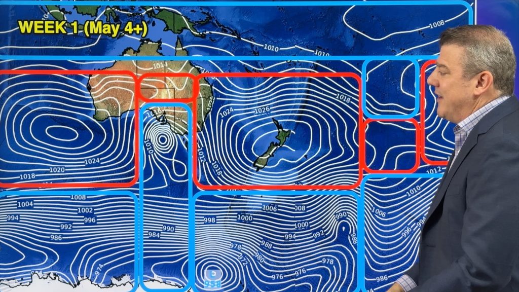
The rain moving in to the north has sub-tropical connections due to a powerful high pressure zone to our east… this high will also slow that rain down, lifting up the rainfall totals in the upper North Island and creating some uncertainty about precise totals.
“Sunday in particular looks wet, humid and mild with north to north west winds and sub-tropical connections” says head forecaster Philip Duncan. “Regions like Waikato and Auckland will have humidity levels not dropping below the mid 80% range on Sunday and well into the 90% range overnight”.
Duncan says the overnight lows in the north will be well up this weekend. “Auckland has an overnight low of 17C on Saturday night and tonight it will only drop to 16C. At the other end of New Zealand regions, like Southland, may reach daytime highs in the mid 20s with isolated thunderstorms on Sunday”.
WeatherWatch.co.nz says the wind spring westerlies are running about a month late this year, but the coming 10 to 14 days will have plenty of windy westerlies blowing through at times, lifting rainfall in the west and finally making things drier, sunnier and warmer in the east.
Did you know you can track humidity, feels like/humidex temperatures and hourly temperatures for 10 days out specifically for your location? Visit RuralWeather.co.nz and click on the big weather tabs at the top of the page for more!
RAIN:


WIND:

TEMPERATURES – DEPARTURE FROM NORMAL:
(colour shading represents how much cooler or warmer it is compared to this time of year over the decades, the numbers on the map represent the forecast maximum temperature in some of our main centres)


HUMIDITY :

- WeatherWatch.co.nz
Comments
Before you add a new comment, take note this story was published on 27 Oct 2022.


Add new comment