> From the WeatherWatch archives
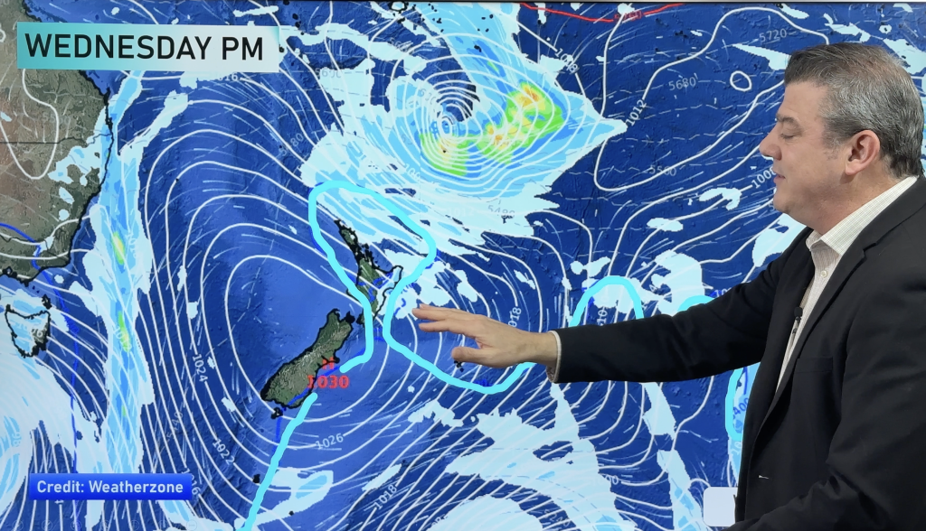
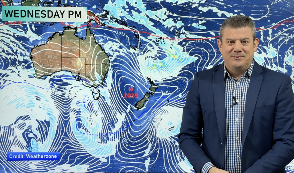
This week overall looks to be quite changeable but nothing too severe at this point. The signs of the seasons changing seem to be becoming more apparent.
Initially it’s a fairly dry beginning to New Zealand apart from a shower or 2 possibly from time to time in Hawkes Bay, Gisborne and Northland early to midweek but a clearance later is likely.
Central parts of the country should be mostly dry with some crisp evenings but relatively pleasant days and some sunshine on most days.
The west of the South Island begins nicely but cloud should start to creep northwards tomorrow and then some rain or drizzly showers off and on throughout the remainder of the week.
Eastern areas should be dry and quite mild early on but later in the week a southerly is due to drift north, bringing cooler and damp conditions.
The west of the North Island starts out quite dry and settled but by Thursday, a few showers could freshen things up a little and then dry days should return by the weekend hopefully.
Driest regions
Auckland,Waikato, Wairarapa, possibly Wellington, Marlborough and Canterbury.
Wettest regions
Fiordland and parts of Westland, Buller and Southland.
Windiest regions
Western areas may see the bulk of the winds but when the southerly pushes through later in the week, eastern coastal regions may see quite gusty conditions.
Warmest regions
The far north but also a few inland and eastern areas of both islands before the southerly arrives later in the week.
Coldest regions
It’s likely to be in the far south and west of the mainland combined with quite breezy conditions, will make it feel quite chilly at times on Wednesday and Thursday.
Comments
Before you add a new comment, take note this story was published on 15 Mar 2009.


Add new comment