> From the WeatherWatch archives
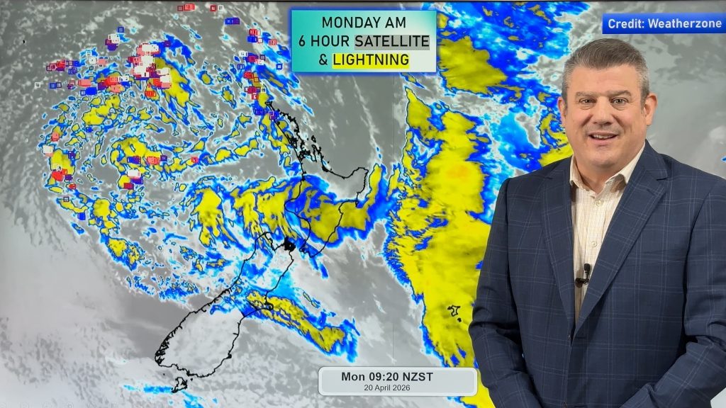
Rain fell this week across big portions of the country, especially central New Zealand where totals over 100mm were recorded across Sunday and Monday.
However even within regions that had heavy rain, some missed out. Waikato saw patchy rain – some people had a soaking while others were lucky to even get double digit rainfall totals (like 11mm).
WeatherWatch,co.nz first started talking about this rainmaker in late February – I mention this to point out how useful the long range models are. There are three models we rely on and we pick and chose which is best depending on the prediction they make. We don’t always trust them either – sometimes entirely going against them to ensure a credible forecast continues. Models may not perfectly predict where the rain will fall and how much – but they did accurately predict a sub-tropical low merging with a southerly system to bring two chances of rain to parts of NZ – on both the Sunday and Monday.
Last week I mentioned that showers are now appearing in the forecast for at least one region every single day – a big shift from “dry, dry, dry” which most forecasters have been predicting so far this year.
On Friday showers fell across Gisborne, East Cape, Coromandel Peninsula, Northland and some parts of the West Coast. This ain’t drought reversal stuff – but if it keeps doing this it does bring some relief to those who desperately need rain. If it happens weekly it basically puts the ‘big dry’ on hold. If it happens more than once it week it can then have a positive flow on effect. Every little bit of rain helps.
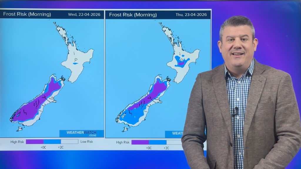
In the meantime, grape growers will be loving the dry weather – and be hoping that frosts stay away a bit longer.
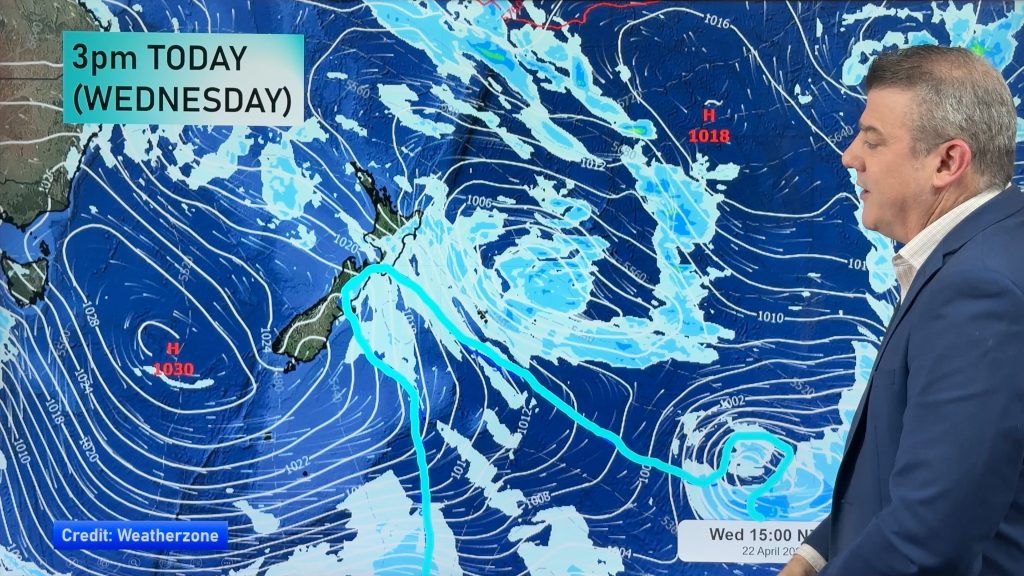
As for long range – we see even more showers in the forecast over the next few weeks. As I’ve been saying all month, don’t look for a single quick fix for the droughts – instead, note the showers slowly affecting more and more regions. Also – the highs look set to be even further spaced apart in April – the lower our air pressure is the higher our chance for rain.
So, still a long way to go for some, relief already for others, and a mix of typical Autumn weather for everyone in between.
– Follow Philip Duncan on Twitter: @PhilipDuncan
Comments
Before you add a new comment, take note this story was published on 22 Mar 2013.


Add new comment