> From the WeatherWatch archives
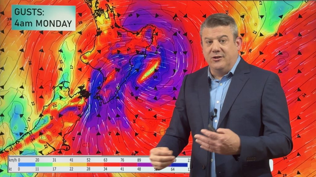
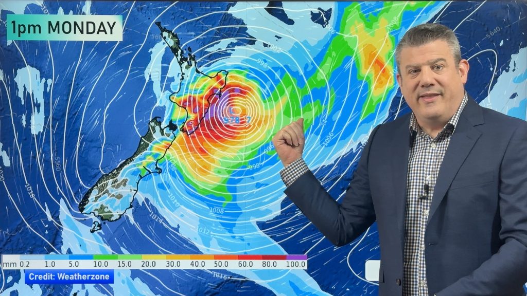
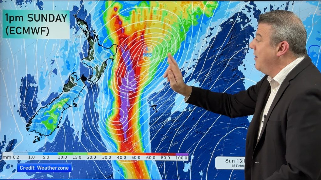
Philip Duncan writes a weekly column in the Herald on Sunday — Storms in the Southern Ocean appear to be the biggest they’ve been all year and it’s only a matter of time before another one swipes New Zealand.
WeatherWatch.co.nz and Niwa have made the same prediction for August – a settled start but, perhaps, a not-so-settled end.
A view of the storms circling around Antarctica during the past two weeks shows some monsters that would dwarf many cyclones we saw north of the country this year. New Zealand has been mostly protected, since the polar blast two weeks ago, by higher air pressure over the country. As I predicted back in autumn, winter this year would not only be short but it would be “soft” – in other words, frosts won’t be widespread, snow storms won’t be frequent and it’s not going to be especially cold.
As we head into spring, usually the stormiest time of the year, we can expect the westerlies to pack a punch – a sure sign of spring. In fact we’re already seeing spring conditions and many in the north would argue it went from autumn straight into spring.
After the July polar blast, warm weather immediately moved in – created by spring-like westerlies. Main centres in Otago and Canterbury have, since then, frequently taken the national high because of those winds, something more common in autumn and spring than the middle of winter.
In Auckland, the winter has been so pathetic that flowers have continued to bloom – and weirder still, monarch butterflies continue to hatch and fly about – oblivious to the fact it is supposed to be the coldest time of the year.
But with no driving force of weather – no La Nina or El Nino weather pattern – we are exposed to all the elements of nature.
This will be the pattern in spring too, made more noticeable as the incoming summer heat battles it out with the outgoing wintry cold. If this weather pattern continues, we can expect a mixed bag – from droughts to big rain events, heat waves and cold snaps.
– Homepage image / File, MandenoMoments.com
Comments
Before you add a new comment, take note this story was published on 7 Aug 2011.


Add new comment
Guest on 7/08/2011 7:06pm
Some pictures of the big storms would be cool please!
Reply
sw on 7/08/2011 5:06am
Since it was a late start to winter no doubt we’ll get our full share of it and will be a late spring start.
Reply