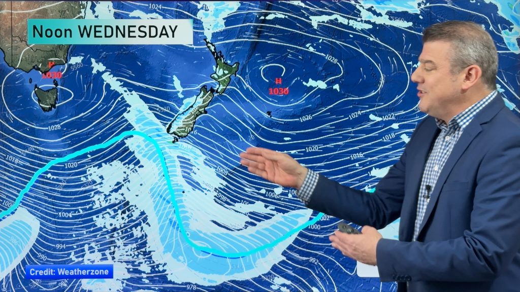
Canterbury rain continues this afternoon, generally easing later today/tonight
14/08/2017 2:33am

> From the WeatherWatch archives
2:33pm Update (+Maps) — It’s a weaker version of the system that caused flooding in Canterbury last month but the rain that continues to fall over Canterbury today does have a similar set up.
Again the centre of the low runs from the upper South Island to Banks Peninsula and again the flooding rain being fed in from the east is being created by a sub-tropical airflow dragged down to Canterbury by the low’s large cyclonic size.
But the low is fairly weak compared to the storm that caused the flooding in Canterbury last month and this current low will continue to weaken overnight as it drifts east, bulldozed slowly by high pressure coming in after it.
As of 2:30pm Monday rain was easing in parts of Canterbury, including in Christchurch and around Banks Peninsula but heavier falls remain just south of the city and towards Timaru and into the mountains/ranges. Rain may return again to Christchurch before properly clearing tonight.
The rain is patchy so it’s a mix of light to moderate falls for the most part but there are some isolated slow moving heavier falls. The rain is also fairly set in. With the ground so saturated the flooding today is happening fairly easily.
The good news is that the rain is showing signs of easing back in some areas. While rain will continue into tonight for some, mostly in central parts of Canterbury, drizzly falls should become more noticeable as high pressure increases tonight.
This afternoon further pockets of flooding are quite possible in flood prone areas dealing with the heaviest falls – this is mostly between Ashburton and just south of Christchurch. The risks ease further into the hours of darkness.
Snow higher up will also ease later today and into tonight.
Canterbury’s 10 day forecast sees both a drier and wetter than usual trend coming up. See our story earlier today about New Zealand’s rainfall trend for the next week or so as spring like westerlies kick in.
 Forecast Rain Radar for 3pm today shows some heavy rain remains in central Canterbury (heaviest in orange/yellow)
 Forecast Rain Radar for midnight tonight shows the odd isolated downpour but rain across Canterbury generally becoming drizzly and lighter as high pressure builds from the west and south and helps guide the centre of the low eastwards with increasing dry spells.
– Maps above by Weathermap.co.nz
 – 2pm public rain radar for Canterbury showers rain easing around Christchurch but remaining set in elsewhere across Canterbury (bright blue the heaviest).Some lighter drizzly areas formering too (yellow) / Radar courtesy of the New Zealand Government/Meteorological Service, funded by NZ Taxpayers.
No tailing today #lochee deja vu all over again. @WeatherWatchNZ pic.twitter.com/oX52QY9Hdg
— Murray Smith (@CharollaisRams) August 14, 2017
– WeatherWatch.co.nz
Comments
Before you add a new comment, take note this story was published on 14 Aug 2017.


Add new comment