
> From the WeatherWatch archives
I’ve had a fascination with tropical storms since I was a kid. I love so much about them. Their unpredictability. Their power. Their names. (Hurricane Igor last year has got to be one of the best).
I’m especially interested in the Atlantic Hurricane season mainly because of the incredible coverage they have online and on TV. Surprisingly a lot of it isn’t hype – the detailed service provided by weather news websites and TV channels comes from public demand – the public don’t want to hear about a storm hitting and then wait days for the next update. They want to watch the storm form, grow, threaten and dissipate. Some even feel sadness when a tropical storm falls apart, especially if it’s been around for a week or two and the name becomes a household name.
You ask most Americans who live near the Atlantic or Gulf of Mexico and they’ll tell you – when a hurricane forms they are glued to its development, even several days out.
This, despite the numerous times hurricanes are predicted to hit and end up dying out or making landfall in a different state altogether – sometimes even making landfall in a different country, the public watch every one develop like it’s a new TV show with a new director, writers and actors.
Which is a great way of looking at a tropical storm – they all have their own personalities.
The hurricane coverage is taken very seriously because Americans know they are unpredictable and dangerous.
The long range models these days are very accurate at predicting long term storms – but still haven’t worked out how to accurately pinpoint where they will make landfall.
Here in New Zealand it’s important for us to understand the huge difference between a tropical storm and a storm that might form in the Tasman Sea. There are a number of technical aspects which I won’t get in to this time, but there is a general difference which highlights just why cyclones are so dangerous and why they are tricky to accurately pinpoint too far in advance.
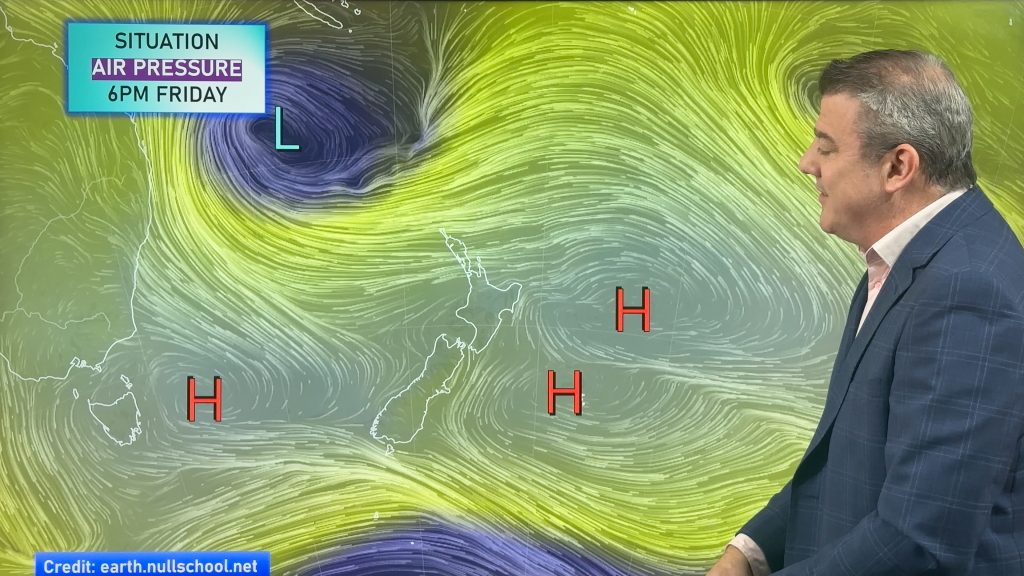
Almost all of our wind warnings in New Zealand are sparked by the pressure gradient between an area of low air pressure and an area of high pressure. This is what we call the squash zone or squeeze zone. The isobars on the weather maps show the “terrain” of the air pressure just like the lines on a topographical map show where the hills and valleys are. In this case the highs are the hills and the lows are the valleys. The more lines you have the greater the difference between the top of the high and the bottom of the low.
Spread those two systems out a long way and you have a gentle slope. Push them up together and you get a steep cliff face of air pressure, and like water down a waterslide so too slides the air – and there we get our wind. Certain geographical features such as the Southern Alps, Cook Strait or Kaimai Ranges can further bump up wind speeds.
That’s what we normally face here in New Zealand – and the distance of that air pressure gradient can sometimes extend for over the length of the country. So it’s very easy to see it coming and which regions will be affected.
With a tropical cyclone it is far more localised and often far more severe. Instead of that energy being spread out over say a 2000km distance it might be spread out over just a couple of hundred kilometres. And within that 200km wall of wind the depth of that low may be far lower than most storm centres that normally cross us.
So the path of a usual storm we have in New Zealand can often be clearly seen and the warnings are given and the system moves in.
Some tropical storms, such as Zelia, can be severe – but only cover a small space. The entire width of Zelia’s destructive winds on Monday was just 100kms. That’s the distance between Auckland and Hamilton, or an area that’s only a little bit larger than Lake Taupo. Now on a satellite map it will shoot clouds out for hundreds of kms (sometimes over 2000kms) and look fairly impressive – but the area of intense wind and rain is much smaller – especially in our part of the world where tropical storms are rarely monsters.
This is why forecasting tropical (or ex-tropical) storms can be so hard. We’re talking about an area of severe weather that’s only a bit bigger than Lake Taupo coming down towards – but this small area is more damaging than most storms we get. And if one of those tropical storms jogs a little further in one direction it could make a direct hit on somewhere like Auckland – population 1.4 million. It’s been a very long time since Auckland had a direct hit by a tropical storm – Drena was the last one in 1997. Zelia is not one that will be remembered.
But there’s something about tropical storms that captures our attention – they can be small and very dangerous – and many of us are fascinated by them.
Because of La Nina this year’s cyclone season will be a busy one – and NIWA says New Zealand remains at an increased risk of being hit by one.
Philip Duncan writes regular blogs for NZHerald.co.nz
What do you feel about cyclones? Can you relate to this article? Post a comment below!
Comments
Latest Video
A few showers, but still a lot of high pressure
Showers continue in parts of NZ going into the weekend and through next week, we track them for you –…
Related Articles
A few showers, but still a lot of high pressure
Showers continue in parts of NZ going into the weekend and through next week, we track them for you –…
High pressure still in charge, but a few changes in the mix
High pressure continues to control much of New Zealand’s weather although there will be some wind and temperature changes in…
Heavy West Coast rain, a few showers elsewhere
High pressure looks to remain mostly in charge of NZ’s weather until the middle of next week when a potential…


Jessica on 19/01/2011 1:20am
Hi Phil,
I can totally relate to your article. I have loved storms since I can remember. I even remember the day in the early 90s when a torando ripped through the town of Albany not far from where I lived even though I was only five.
I remember camping when I was nine or so & a storm coming along and the front of our tent nearly coming off. Dad had to park the van in front of the tent, to stop the wind. It ended up destroying that tent!
When twister came out in 1996 it was my favourite movie & that’s when I become obsessed with storms. I remember cyclone Fergus & Drena & can remember both times that they hit & the anticipation even though I was 11. I was so excited. Everyone thought I was strange as they were scared.
We dont seem to get many cool storms here. I remember a few in February 2008 and it poured down every weekend in Auckland. Or the sudden storm that for some strange reason I didnt know was coming & the lights ended up going out on the harbour bridge. I sat on the harbour bridge in the dark in peak hour traffic with no lights & could feel my car moving from side to side. That was scary!
I have been looking at your site obsessively for the last week & nobody around me can understand my storm obsession! It’s the unpredicatablity and anticipation that I like.
Hopefully we will get a tropical storm this summer & it won’t bypass Auckland!
Also I hear you can go storm chasing in America as a tourist activity. I think I will add that to my bucket list – definitely!
Guest on 19/01/2011 12:59am
Hear hear…. As a dedicated weather geek I too love to watch developing cyclones and intense lows with anticipation and feel somewhat bereft when they wither away . Obviously these are mixed feelings, because whilst I have no wish for dodgy weather to affect people, homes and businesses badly, there is something amazing, fascinating and downright exciting about a jolly good storm!!
A very well written piece and explanation of cyclones, isobars and how they affect our fab part of the world.
Keep up the good work and can we please have some more thunderstorms in Otago….?!
🙂
Kieran on 19/01/2011 12:30am
Hi team, are you able to explain the naming conventions for tropical cyclones in our part of the world?
The US system seems fairly easy to understand (restarts at A every season) but here, not so much. This season started with Vania, with Victor forming off Australia’s west coast at much the same time. Then it appeared to jump straight to Zelia.
Thanks for the excellent coverage of Vania & Zelia over the past week – we were holidaying in the far north and your regular, informative updates were invaluable!
WW Forecast Team on 19/01/2011 1:04am
Hi Kieran
Great to hear our service was helpful for you!
Yes, we agree with your comments about the American system. We believe it’s far superior to the shambles we have in the South West Pacific when it comes to naming.
In our part of the world there are 5 different Forecast bodies that monitor storms, they provide different maps, different updates and different terminology. Their naming system is also incredibly confusing – especially considering NZ is in a funny position where Australia and Fiji having naming powers. If the storm forms east of 160E then it’s Fiji, if it’s west of that it’s Australia. When the storm crosses that line it changes into the other authorities hands!
This is why WeatherWatch.co.nz is investing so much time in this area – we want to be the website you come to during cyclones as we collate all the important information in one place.
However WeatherWatch.co.nz has full respect for the Bureau of Meteorology and the Fiji Meteorological Service who do an excellent job at monitoring the storms, tracking them and providing forecasts for the public. (the naming "shambles" is a seperate issue). We would truly be lost without those two nations and their Meteorological teams.
Also, when Zelia left the tropics when then relied on the Joint Tyhpoon Warning Centre who, also, provide an excellent service.
MetService provided a little help too with their High Seas forecast shortly before Zelia mand landfall which was helpful, but mostly we found our government owned forecaster helpful with their numerous land warnings.
This link is the best to explain the names – good luck getting your head around it! http://en.wikipedia.org/wiki/Lists_of_tropical_cyclone_names
– WeatherWatch
Axel on 19/01/2011 12:23am
I too am fascinated with weather systems and the way that they form and operate (for want of a better word.) ever since the met service used to be based at Whenuapai Air base and as a dog handler, wanted to know what the weather was going to do before I started working on the tarmac. It got to the stage that by seeing their weather radar – I could predict rain down to minutes. I love a good storm and one of the things that is on my bucket list – is to do a storm chasing tour at some stage in the USA.
When I was living in the USA – I would quite often tune into the weather channel. Continuous updates…news….stories about storms….it was awesome. It’s big business and I still think that there would be room to have a weather channel here in NZ. In the meantime – even though I was disappointed that this last weather system didn’t produce much excitement this time – I’ll be keeping an eye on your updates and predictions in the next couple of weeks here.
Thanks y’all.
David on 19/01/2011 7:47am
Good stuff Weather Watch.
Yes Cyclones definately have a mind of their own and can be so hard to predict, just like a woman…..oops! am I thinking out loud?
Anyway, yes hard to predict and lose so much energy as they move out of those nice warm seas in the tropics, plenty of time for others to form and move our way, if we are in for a busy season then I only need to think way back to the Wahine cyclone, that ran amok through Wellington here in April, very late in the season, so we could be in for many more after 2 in the space of a couple of days.
In the meantime, for a bit of more predictable action, I wait for a good low of say 980mb to come through Cook Strait with intense high pressure on either side to squash up the isobars for a real blast, lets say a slow mover that takes a day or two to get through the strait.
Do ya reckon I have a strange sense of humour? Well maybe but I just love a good storm to make me feel alive.
Cheers.
WW Forecast Team on 19/01/2011 8:51am
Hi David,
I feel similar to you – and I’ve probably annoyed all the female viewers on Country 99 TV tonight (and maybe some readers here too!) when I suggested that female names are perhaps a little more appropriate for cyclones! 😉
Philip Duncan