> From the WeatherWatch archives
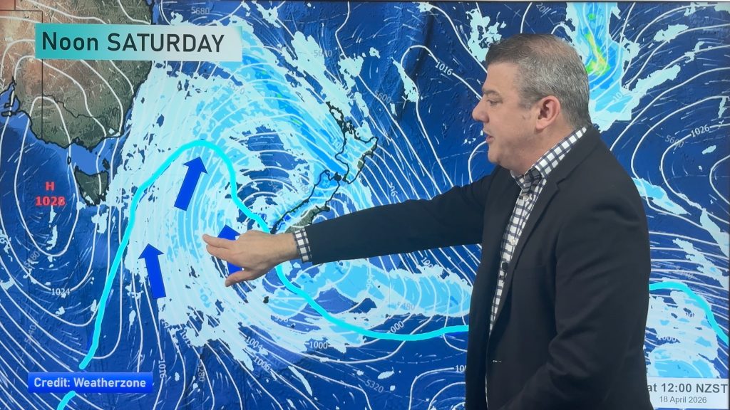
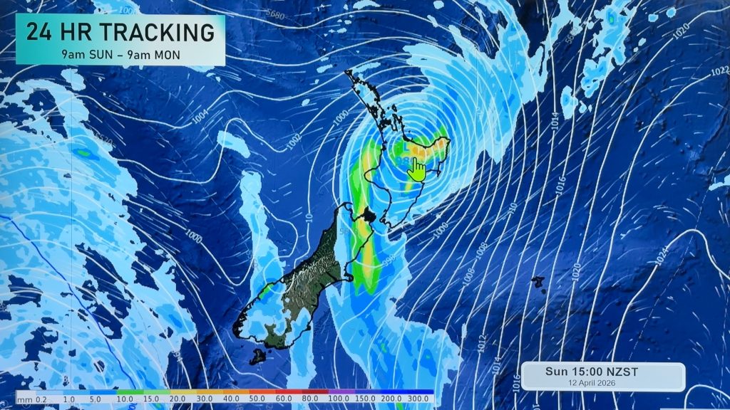
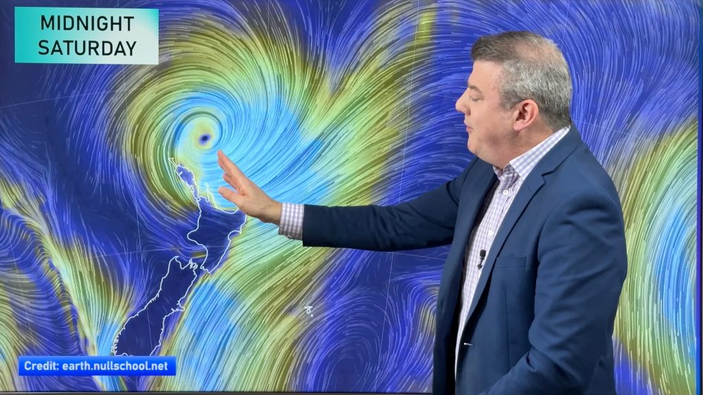
It’s a question I’ve been asked a few times this week by reporters and radio announcers. What is our first reaction when we first see a storm appearing in the computer models. The answer may not be quite what you think.
Before we can react to anything we need to put into context – just because the computer models are predicting a storm doesn’t mean one is forming. We need to look at current weather patterns, sea surface temperatures, wind flow, air pressure etc. There are a number of things to look for.
Here at WeatherWatch.co.nz we tend to go for the Three Strikes rule. We give the computer models three days to ‘swing the forecast bat’ then we make our decision. Quite often the data fed into these models changes and can change wildly. For example, Day 1) Shows a storm. Day 2) Shows only a weak low. Day 3) Shows a storm again, but perhaps a little watered down from the Day 1 prediction. We have to give it a few runs before putting too much faith in them because often at our latitude the storms are pretty unpredictable.
If we announced a storm is coming on Day 1…then Day 2 and 3 say nothing, we’ll look silly. It’s rare for the good modelling to get it wrong 3 days in a row, but it does sometimes happen – usually we have a feeling for this though.
There are some cases, however, when we have high confidence with the day 1 prediction – this happened during our last cyclone season a few times. Some of you may recall over summer we picked Cyclone Yasi 10 days before it made landfall – that was because we were very confident from day 1 that the model was accurate – because sea surface temperatures and other conditions were favourable for a low to form. We won’t go all out on it though – we usually have a story about a possible low forming in the tropics in 10 days times…or even just a paragraph about it in another story.
If the low was forming around NZ we would wait another three days before making confirmation – again because around New Zealand’s latitude conditions can be lot more chaotic and changeable.
Once we know a storm is forming then it’s all go.
Here’s a basic timeline of what we do once we identify a storm:
- Firstly confirm the likelihood of the storm developing.
- Then we work out how serious it will be
- How likely will it hit us
- Which region(s) will be first affected
- How will they be affected – ie, wind, snow, rain etc
- How severe will the wind, snow, rain be
- Who will be worst affected overall
- How long it will last
- Who needs to be warned – ie, city folk, farmers, boaties etc
- When do we first alert people – when is our confidence high enough
Later this year we’re going to be adding a Warnings page to our site – this will have all the latest MetService official weather warnings. With our site growing phenomenally this year we believe it’s vital that we are a responsible forecaster and must display all the MetService warnings in full and up to date. We’re working with their hardworking digital team to be able to do this properly.
So that’s a bit of background on what we do here at WeatherWatch.co.nz when it comes to stormy weather… but for now, as they say on planes, “sit back, relax” and enjoy the incoming high.
– Philip Duncan
Comments
Before you add a new comment, take note this story was published on 17 Aug 2011.


Add new comment
richardmcb on 19/08/2011 9:01am
They get all excited!
Reply
Zelda Wynn on 17/08/2011 11:57pm
Great detailed explanation of all the work behind your warnings
Regarding the latest MetService official weather warnings, they have been tardy getting out up to date ones of recent. You have always been first.
Reply
WW Forecast Team on 18/08/2011 12:00am
Actually they were ahead of us for this recent cold blast…warning the public last Wednesday. Was good to see us all singing off the same song sheet on Friday though.
– WW
Reply