> From the WeatherWatch archives
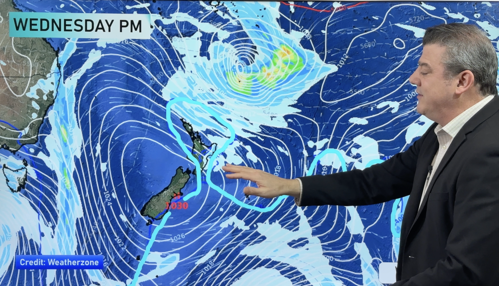
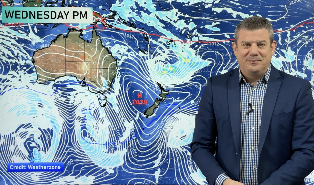
The centre of large storm in the Southern Ocean is expected to remain well south of the country but will bring gales, rain and snow to some parts of New Zealand off and on for several days predicts WeatherWatch.co.nz.
The storm is expected to take almost an entire week to completely pass by in the Southern Ocean bringing strong winds to many parts of the country.
“This looks like something more usual in spring or autumn” says head weather analyst Philip Duncan. “The belt of strong westerly winds will start late on Tuesday and last, probably, until next Sunday or next Monday”.
“The main feature from this low is the strong belt of west to south west winds which will continue for several days over the country”.
Mr Duncan says conditions won’t be severe for most of the main centres but western, central and southern areas will have a series of fronts and strong winds with snow up on the mountains.
Winds are expected to be strongest around mid to late this week.
Meanwhile a sub-tropical low continues to deepen north of the country Sunday and will bring a wet, windy, day to eastern parts of the North Island on Tuesday.
The rain, which could be heavy enough to prompt a rain warning, will mostly affect Gisborne and Hawkes Bay. MetService says uncertainty remains over just how heavy the rain will be and have issued a Severe Weather Watch for Monday night and Tuesday for the two regions.
Gales:
Most likely east of the Southern Alps but hopefully not as far east as Christchurch. Gales also expected in exposed parts of Marlborough, Wellington and Wairarapa, also the Hawkes Bay ranges.
Heavy Rain:
The entire West Coast and possibly Mt Taranaki. And maybe Gisborne and Hawkes Bay as this sub-tropical low moves in.
Snow:
South Island mountains mostly, but some snow expected in the North Island too.
– WeatherWatch.co.nz
Comments
Before you add a new comment, take note this story was published on 3 Jul 2011.


Add new comment
ben g on 3/07/2011 6:44am
I emailed metservice about a month ago telling them that I was having problems with their future isobar maps randomly not working(“data not available”) , they said “yeah, we know”, but they still cant seem to get it fixed! slack! any other nz sites anyone knows with good mslp isobar forcast maps?
Reply
Guest on 3/07/2011 2:06am
And yet again, Metservice has it fine, (as of 1.10pm), next weekend for Invercargill yet the rural forecast says rain with northwesterlies – a bob each way, perhaps?? Haha.
Reply
Guest on 3/07/2011 10:42pm
usually the 3 hourly 3 day map is different to the 7 day map, one says there is rain, the other shows clear on the same day and hour, would be really good if WW can have its own maps that actually work
Reply
WW Forecast Team on 3/07/2011 11:55pm
We don’t use any of the mapping provided by MetService and are currently working with WeatherMap.co.nz to bring some really cool maps to WW. Watch this space!
– WW
Reply