
> From the WeatherWatch archives
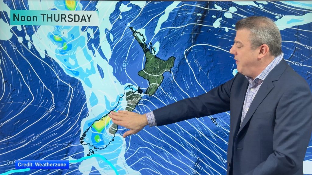
A big high will be centred over New Zealand on Anzac Day bringing mainly dry weather across the country and mostly light winds ahead of two lows this weekend.
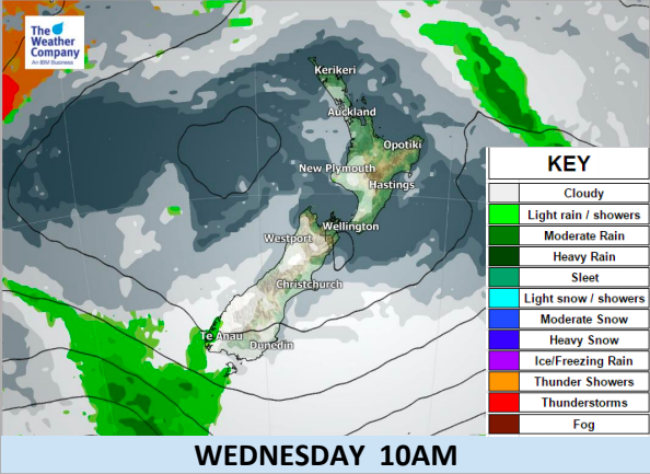
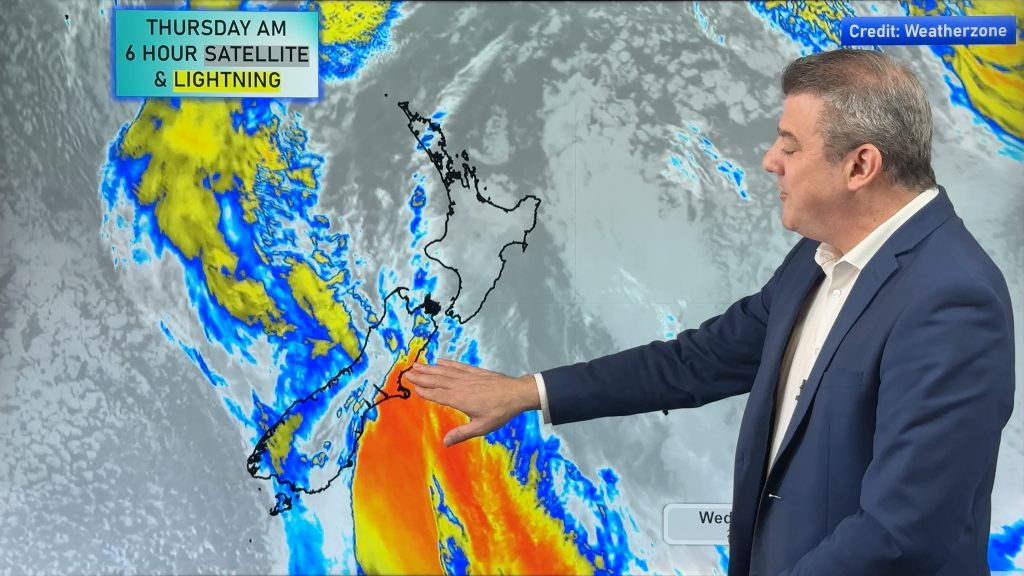
The biggest risk for wet weather is in the form of a very early drizzle patch mainly in areas closest to the Tasman Sea and perhaps Southland too. The anti-cyclonic gloom (the thick low cloud blocking the sun for many western regions) should take a bit of a break on Wednesday with more sunny spells.
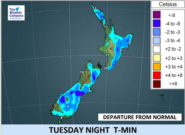
As a result of a weak sou’west flow today the temperatures tonight will take a bit of a drop. It will be a fairly cool morning, especially in the South Island for Anzac Day – but a mild afternoon for most parts of New Zealand.
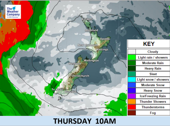
Warmer weather pushes in on Wednesday and even more so on Thursday with northerlies gradually developing towards the end of the week.
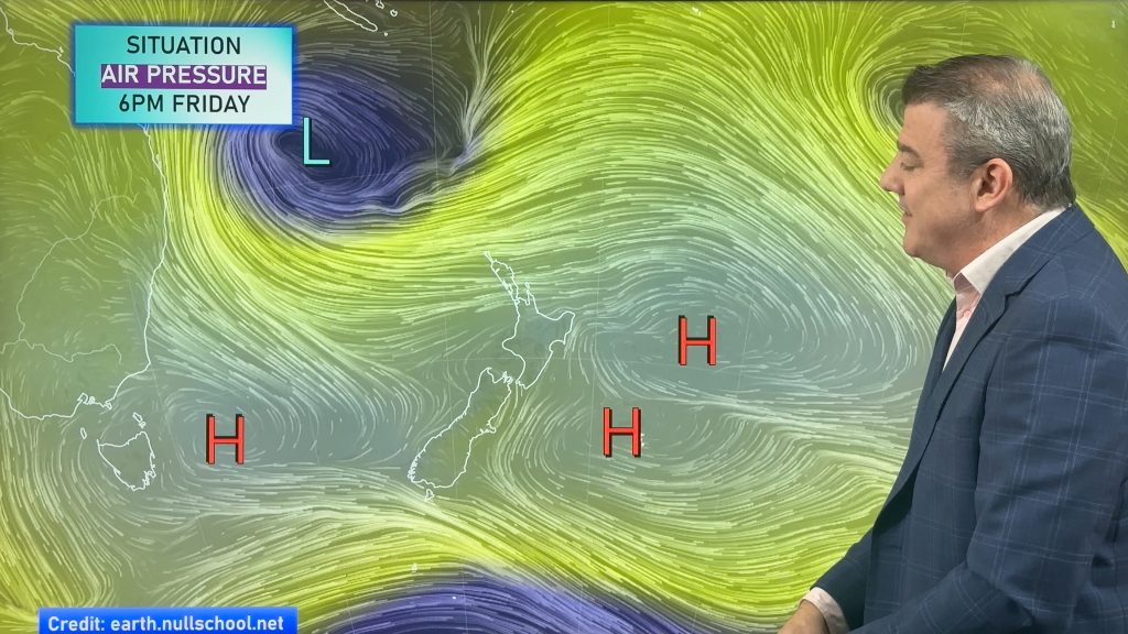
Once we reach Friday a northerly flow will cover the country with clouds increasing. Going into the weekend two lows will swirl around each other over the New Zealand area bringing areas of rain and showers to at least half of both main islands.

– WeatherWatch.co.nz – Proud to be an official business partner to IBM
Latest Video
A few showers, but still a lot of high pressure
Showers continue in parts of NZ going into the weekend and through next week, we track them for you –…
Related Articles
A few showers, but still a lot of high pressure
Showers continue in parts of NZ going into the weekend and through next week, we track them for you –…
High pressure still in charge, but a few changes in the mix
High pressure continues to control much of New Zealand’s weather although there will be some wind and temperature changes in…
Heavy West Coast rain, a few showers elsewhere
High pressure looks to remain mostly in charge of NZ’s weather until the middle of next week when a potential…

