> From the WeatherWatch archives
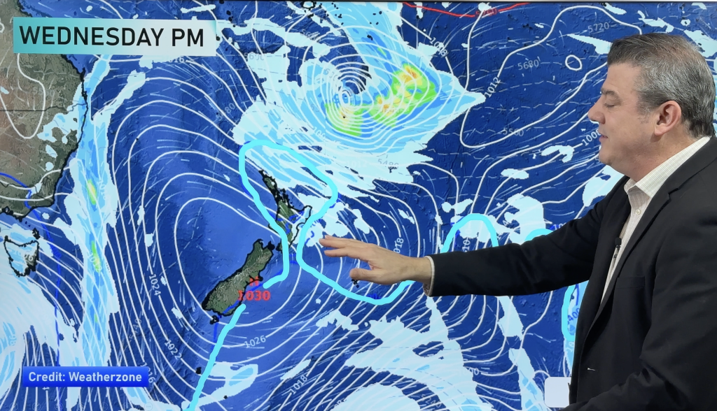
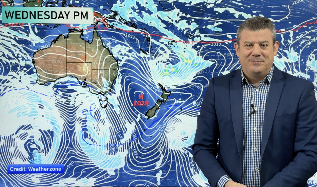
Yet another low is predicted to move in from the Tasman Sea this weekend – and while latest computer models are picking it to be fairly large, it’s not looking very powerful.
The low, which is connected to the weather pattern in eastern Australia that has seen significant flooding in recent days, doesn’t look as though it brings a flood risk to New Zealand, but it’s slow movement means it is still one to watch.
It may also trigger a few thunderstorms as it moves in – pulling down warm sub-tropical air over northern New Zealand ahead of it then sucking up cooler sou’westers behind. This risk is mostly for northern and western New Zealand and is considered ‘low to moderate’ by WeatherWatch.co.nz.
At this stage Saturday is looking mostly dry around New Zealand although clouds will build and late rain is expected on the West Coast.
On Sunday the main front will slowly move in to the North Island – for some regions it may not arrive until night time or even early Monday in the far east.
You can track the rain bands yourself using our free and interactive maps page by clicking here
– WeatherWatch.co.nz
Comments
Before you add a new comment, take note this story was published on 7 Mar 2012.


Add new comment