
> From the WeatherWatch archives
It’s a warm afternoon for northern New Zealand as a front departs but the humidity remains.
Sunny spells are increasing which has helped boost temperatures into the mid 20s. In Tauranga it’s currently 25 degrees with 24 in Whitianga and 21 in Auckland. Hamilton has 19 and Paeroa 22.
But the real heat is in the North Island’s east coast where temperatures are now around the 30 degree mark. It’s currently 28 in Gisborne and 29 in Napier and Hastings. WeatherWatch.co.nz predicts further inland it’s likely to be 30 degrees and above.
In Wellington a northerly has returned after a brief southerly yesterday. It’s currently 18 degrees in the capital and 21 in Lower Hutt.
An easterly flow remains in Christchurch keeping temperatures down. The nor’easter has kept temperatures in the low teens around Canterbury with 14 in Christchurch. It’s just 11 in Timaru and further south Dunedin has 13.
Invercargill still has a strong westerly flow.
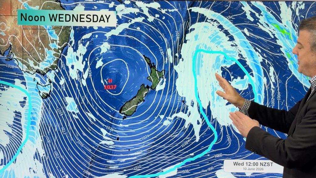
But the week ahead will be a warmer, wetter one. A nor’west flow will remain over the country for most of the week bringing high humidity, low cloud, drizzle and rain to northern and western regions. Temperatures may again be high along the North Island’s east coast while cloud and drizzle should affect the eastern parts of the South Island later in the week.
Comments
Latest Video
High pressure is moving in, lighter winds, frost & fog patches coming
A polar blast continues today, mostly east of the North Island and South Island but the Chatham Islands are in…
Related Articles
High pressure is moving in, lighter winds, frost & fog patches coming
A polar blast continues today, mostly east of the North Island and South Island but the Chatham Islands are in…

Colder airflow, showers, fog, frost & large dry areas
A windier and cooler start to the week will be replaced by lighter winds, frosts and fog patches as we…
Thunderstorms & downpours as cold front moves through
More heavy downpours and thunderstorms are expected across Friday and into Saturday as a cold front moves through and clears…


JohnGaul on 29/11/2009 5:35am
Bloody cold out here in West Melton.
Slight frost this morning, down to 0.6C.
Temperature rose 15C this morning but it cooled down this afternoon with increasing cloud cover from the NE with a light SE to ESE breeze blowing. 8C at 4pm and not much change from then on. Had to light the fire.
JohnGaul
NZThS