> From the WeatherWatch archives
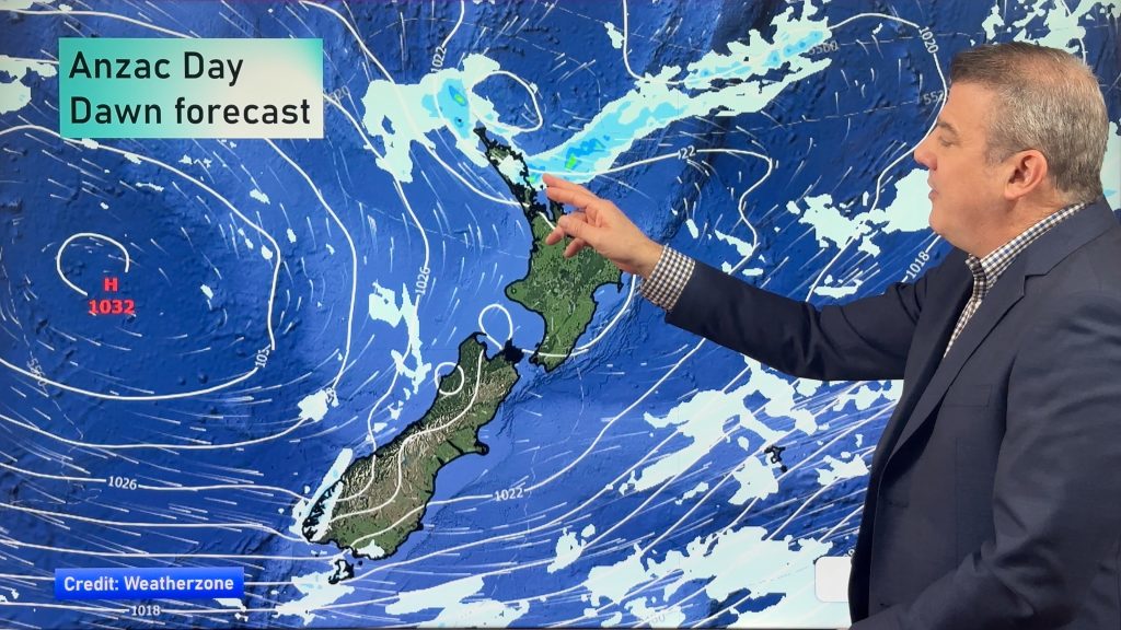
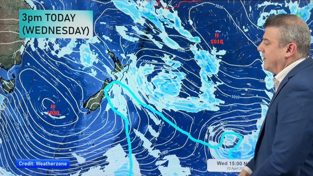
On Tuesday we have a high out in the Pacific Ocean, and a low in the south Tasman Sea – west of the South Island.
Between these, a northerly airflow streams over the country.
In the North Island, we have mostly cloudy skies with the odd shower about, especially in areas exposed to the northeast.
Some slightly more intense rain moves into areas from Taranaki southwards in the west however, from late afternoon or evening for a time.
The East Coast of the North Island sees breezy north to northeasterly winds, with sunny areas and some high cloud here and there.
Over the South Island, we have sunny areas and some high cloud in the east, which thickens later in the day.
Some rain then moves in overnight about Canterbury, or perhaps closer to dawn on Wednesday.
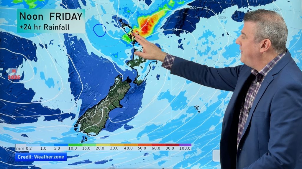
The West Coast of the South Island sees some rain about Fiordland, while rain moves into Buller from the north in the late afternoon, then further south in the evening.
Rain moves in from the north, and it could contain the odd heavy fall or thunderstorm.
Marlborough sees thickening high cloud from morning, while the odd spot of rain is possible there from afternoon.

– Aaron Wilkinson & Drew Chappell, WeatherWatch.co.nz
Comments
Before you add a new comment, take note this story was published on 16 Feb 2016.


Add new comment