
> From the WeatherWatch archives
It’s colder today across much of the country with the South Island interior the coldest – some places remain in the low single digits as we approach 11am.
Northern New Zealand has also noticed the colder change and while still fairly mild with temperatures already in the mid-teens in many places the air is much cooler than the previous sub-tropical airflows of recent weeks.
Tonight will be another cold night, perhaps colder for some northerners as high pressure increases and winds ease there too.
Frosts are possible tonight mainly through inland areas of both islands in the usual more frost-prone areas. Heavy frosts are not forecast at this stage.
By Wednesday many places will be warm as westerlies kick back in ahead of the next cold snap. Places in the east may climb back into the low 20s for a short time – before being blasted by the southerly.
NEXT COLD BLAST(S)
Over this Thursday and Friday what appears to be a larger cold blast will move in nationwide. Again it’s short lived with a high coming in behind it but this may produce heavier frosts afterwards and also deliver snow into the North Island ranges.
There may be yet a third cold southerly again next week too. It seems Autumn has finally woken up.
Temperatures (below) as of 10:40am / courtesy Wunderground


– WeatherWatch.co.nz
Comments
Latest Video
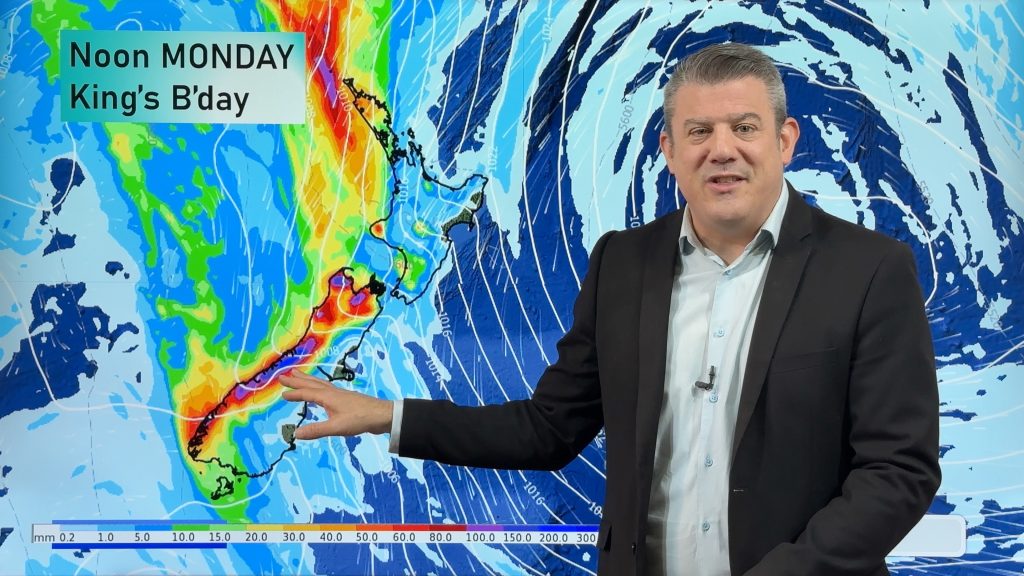
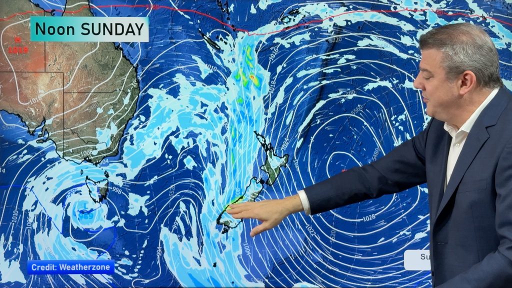
Heavy rain & gusty winds for parts of NZ this long weekend
The long weekend starts off mostly settled and dry, then subtropical north to north-west winds kick in with heavy West…
Related Articles
Heavy rain & gusty winds for parts of NZ this long weekend
The long weekend starts off mostly settled and dry, then subtropical north to north-west winds kick in with heavy West…
Latest on the long weekend weather
We still have another large high pressure zone to move over the nation, but subtropical northerlies will pick up this…
Subtropical northerlies and some wet weather chances going into the long weekend
More high pressure is moving over NZ this week but this week it slides east of us, creating subtropical northerlies…


Rotorua_smell on 1/05/2017 12:33am
Good grief, you guys made a great move distancing yourselves from the NZherald. What a load of nonsense…
http://www.nzherald.co.nz/nz/news/article.cfm?c_id=1&objectid=11848011
You guys are way too good for this editorial tripe.