Weather Forecast for Forecast-Queenstown-Saturday-February-22-2020319m above sea level
Now
Today
Tonight
Next 24 Hours in Forecast-Queenstown-Saturday-February-22-2020
Next 9 Days in Forecast-Queenstown-Saturday-February-22-2020
Day
Night
5km/h
chance
of rain
trace
Day
Night
5km/h
chance
of rain
trace
Day
Night
12km/h
chance
of rain
3.1mm
Day
Night
3km/h
chance
of rain
trace
Day
Night
5km/h
chance
of rain
trace
Day
Night
6km/h
chance
of rain
0.9mm
Day
Night
6km/h
chance
of rain
7.5mm
Day
Night
7km/h
chance
of rain
7.6mm
Day
Night
7km/h
chance
of rain
6mm
Comments
If you have any questions about functionality of our website(s) or app, trying to locate maps or data, or have a simple comment/feedback - please post a comment below!
As of 2024 we will no longer be publishing questions related to weather forecasts if they are answered via our hyper-local hourly & 10 day forecasts, weather maps and regular daily and monthly weather & climate videos.
We’re a small NZ business with limited resources to respond to general weather questions. Our social media pages may be helpful to you, especially if you want to often talk (or groan!) about your local weather. You can find more resources from us here if that’s your thing.
Have questions of a commercial nature? Contact us directly here.
Thanks for your support!
Don’t forget to check out our RuralWeather.co.nz website (great for event planning or attending + camping!) and also, our brand new Weather Alerting App!
Latest Video
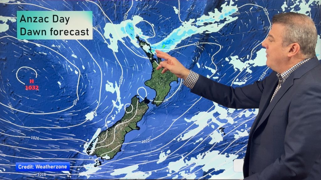
NZ weather forecast to May 1st
Heavy rain moves north of Auckland city today but remains in the north of the region and should be clearing…


Add new comment
Anne on 21/04/2026 7:39pm
Thurs 23, says 0% chance of 5.5 ml of rain …
I realise that forecasts are only a ‘best guess’ and can change at any time, but this seems to me on of the weirder ones, would love to know if there is an explanation
Reply
WW Forecast Team on 21/04/2026 8:07pm
Hi Anne, our rainfall data each day in the daily totals is actually broken into two segments: Daytime and nightime. So if you see that it means rainfall will be occuring overnight. If you use the rain graphs at RuralWeather.co.nz or in the WeatherWatch App you will be able to make more sense of it.
Kind regards
– WW
Reply
Linda on 19/04/2026 2:40am
Really ! Weather forecast for kaiapoi said 2 days of torrential rain this week. We cancelled holiday to only see today we might possibly get a little shower!!!
How can you get it so wrong?
Reply
Luke on 19/04/2026 7:00am
Hey Linda,
Phil explained recently that this current low is very difficult to predict as it is really messy. There has been no forecaster that has correctly predicted any of this weather for more than a day ahead. That’s just the reality of the business sometimes.
Reply
Curious on 21/04/2026 1:45am
It would be really appropriate for forecasters to include a confidence level alongside the data. When you look ahead, there’s no way to know whether a 3 day forecast is worth more than a coin flip. I’m sure it varies, but why not share that?
Reply
Kat on 21/04/2026 10:15am
The weather in New Zealand changes so much, it would be more realistic to put a ‘changability level’ meter alongside the weather data. That would be a moot point, however. We live in the ”Roaring 40s” and Phil talks a lot about this, too. If WW installed every little thing dreamed up, there would be no room for the weather patterns we come here to see.
For Christine: try going to the rural weather choice in the 3 bars drop down in the upper right corner. Type in your area and ”Bingo”, a closer view of your area weather ten days out. Or just watch the videos.
Good luck
Reply
View more comments