> From the WeatherWatch archives
There’s no shortage of cold air over New Zealand at the moment but it’s still not perfect frost making weather for everyone. Clear skies and little to no wind is generally needed to make frosty conditions.
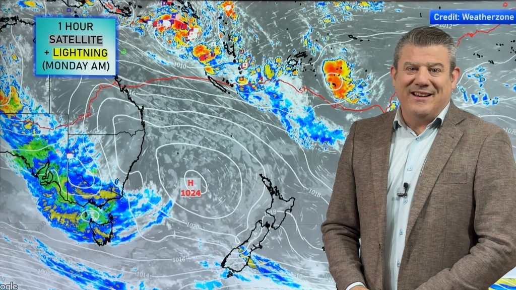
This evening there’s a very weak and small front moving across the South Island, breaking apart as it does, but there are clear patches across the country that will be perfect for frost making tonight.
Any clouds over Canterbury and the upper South Island should clear this evening with frosts expected either late tonight or by tomorrow morning. Central Otago should also see frosts in the morning however Southland and coastal Otago may still have a little too much cloud and wind to contend with.
In the North Island that weak front will be falling apart in the early hours of Thursday along with just enough of a southerly to stop things freezing south of about Manawatu, although Palmerston North may be border-line as will New Plymouth. Frosts are possible in sheltered parts of Taranaki and almost certainly across Central Plateau, Rotorua, Bay of Plenty and Waikato.
Some cloud cover and a possible light breeze should stop frosts in Auckland tonight although it will be a cold night. Northland should be too ‘mild’ for frosts.
Tomorrow night? Well that’s a different story. Check our lead story tomorrow morning as we discuss the possibility for severe frosts in the coming days right across New Zealand.
Comments
Before you add a new comment, take note this story was published on 17 Jun 2009.


Add new comment
Kerry on 17/06/2009 10:56am
From the winterless Far North….. 10.55pm. it is 4.6 and wind chill is -0.1 When is the rain due?????
Reply
WW Forecast Team on 17/06/2009 11:08am
Looks like the Far North might be too…well..far north ..to receive them. If there are any they’ll be confined to western regions.
Cheers
WeatherWatch
Reply