> From the WeatherWatch archives
There’s a mix of wet and dry on Tuesday, after some very low temperatures and chilly conditions in some parts of the country to kick the week off.
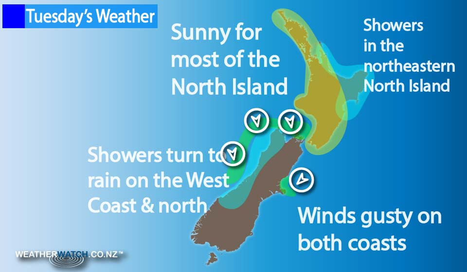
A ridge lies over the North Island, while a northerly airflow increases over the South Island.
The North Island is mostly sunny, although some high cloud may thicken for some northeastern parts in the evening, bringing the chance of a light shower for eastern Northland, Gisborne, the Coromandel and the northern East Coast.
Cloudy areas persist for much of the day about Hawkes Bay and Gisborne, with a light shower or two possible in the morning – before clearing away (while in Gisborne, the odd light shower may hang around till evening).
The South Island sees cloudy skies on the West Coast, as rain pushes into South Westland late in the afternoon and into evening, then pushes northwards, becoming heavy overnight.
The east coast of the island sees sunny areas and increasing high cloud, while northerly winds become gusty overnight for parts of the West Coast and Cook Strait, and northeast winds become a little gusty about Banks Peninsula.

– Aaron Wilkinson & Drew Chappell, WeatherWatch.co.nz
Comments
Before you add a new comment, take note this story was published on 11 Jul 2016.


Add new comment