> From the WeatherWatch archives
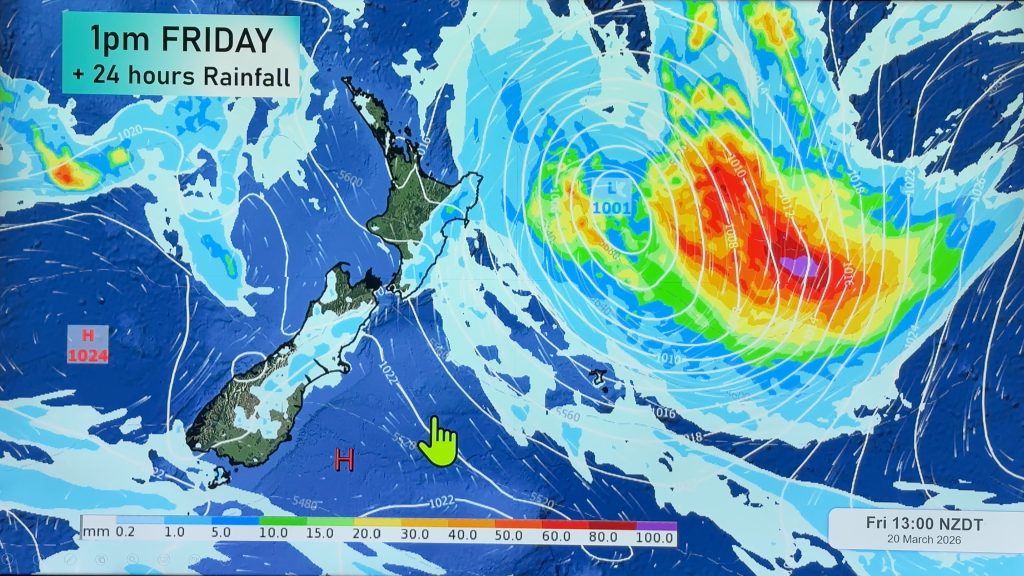
Another weather system will make its way toward New Zealand today. The Tasmanian low will bring more wind and rain to the North Island as we head into the afternoon and evening hours. That’s on top of the showers that will be dotting the island this morning.
There will be enough energy with this system that thunderstorms are a possibility for the western coastal sections of the North Island, including Auckland. The best chance for that will be this afternoon and tonight.
The upper regions of the South Island will also see a bit of an unsettled day. Showers are possible all day and into tonight for Nelson and Marlborough. The West Coast could see showers early today. Canterbury could see a few showers late today and this evening.
It should be a dry day for most of the deep south. Invercargill could end up with a bit of shower activity today. But the rest of Southland and Otago should be dry.
By WeatherWatch Analyst Howard Joseph
Comments
Before you add a new comment, take note this story was published on 19 Jun 2012.


Add new comment
Mark on 19/06/2012 9:02pm
It seems that every time I look at a weather map (with the isobars) there seems to be a whopping great high over Australia (as far south as Melbourne often) and yet right to its east, regular as clockwork, there’s a whopping great low over NZ. Why does Australia get so many more highs than us?
Reply
sw on 19/06/2012 10:24pm
Because the continent tends to have cooler/sinking and dry air and anticyclones are sinking air.If Australia wasnt there we’d have lot more showers but the weather would be more regular all year.Also the ocean produces moist air.
Reply