Weather Headlines for Tuesday – Some rain, possible thunder then settled
24/01/2022 6:00pm
> From the WeatherWatch archives
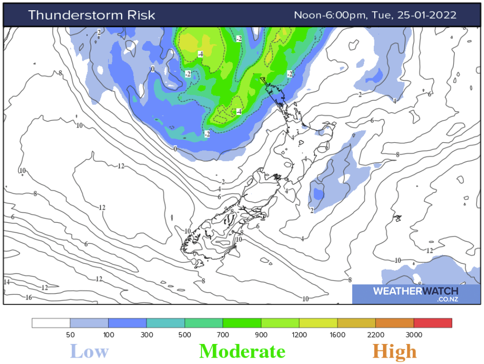
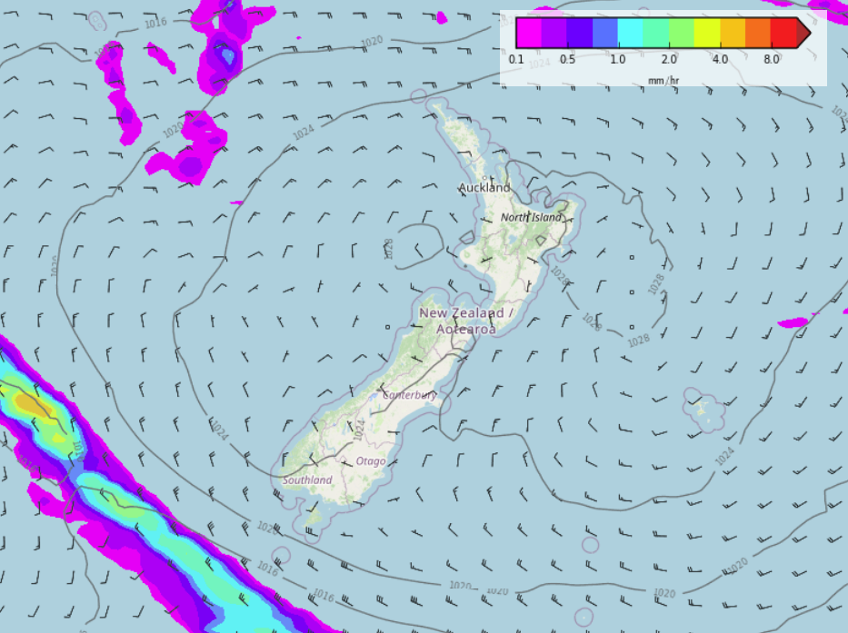
Thunderstorms possible Today / Wednesday
Conditions may become unstable this afternoon for Northland down through to about Auckland overnight. Bay Of Plenty through to the Manawatu could get a storm on Wednesday. Thunderstorms by nature tend to be isolated so rainfall won’t be consistent everywhere but if you do strike one you could get a downpour.
Humidity is up but gets pushed out on Thursday
Conditions will be feeling humid for the upper North Island today and Wednesday before a southwesterly flick moves through on Thursday pushing the muggy weather out of the way. In this graph below for Auckland see the dew point temperature, you’ll note it starting to drop on Thursday which is when the muggy feeling will start to ease.

Settled from Friday through to early next week
High pressure lies over New Zealand on Friday and hangs around through to early next week, this brings settled and mainly dry weather.
Latest Video

Snow, rain showers & cold polar southerlies set to return
Friday will be a wintry day across NZ as the next cold front arrives, bringing snow to lower levels of…
Related Articles
Snow, rain showers & cold polar southerlies set to return
Friday will be a wintry day across NZ as the next cold front arrives, bringing snow to lower levels of…

Frosts, late week rain & another cold weekend coming
High pressure will cross NZ over the next few days meaning more cold nights/mornings with frosts, but a nor’wester will…

NZ: Cold & windy, then calm & frosty
Downpours, some squally with the chance of thunderstorms and even small tornadoes are possible for parts of NZ over Friday…

