> From the WeatherWatch archives
Another very wet day is on the way for the North Island.
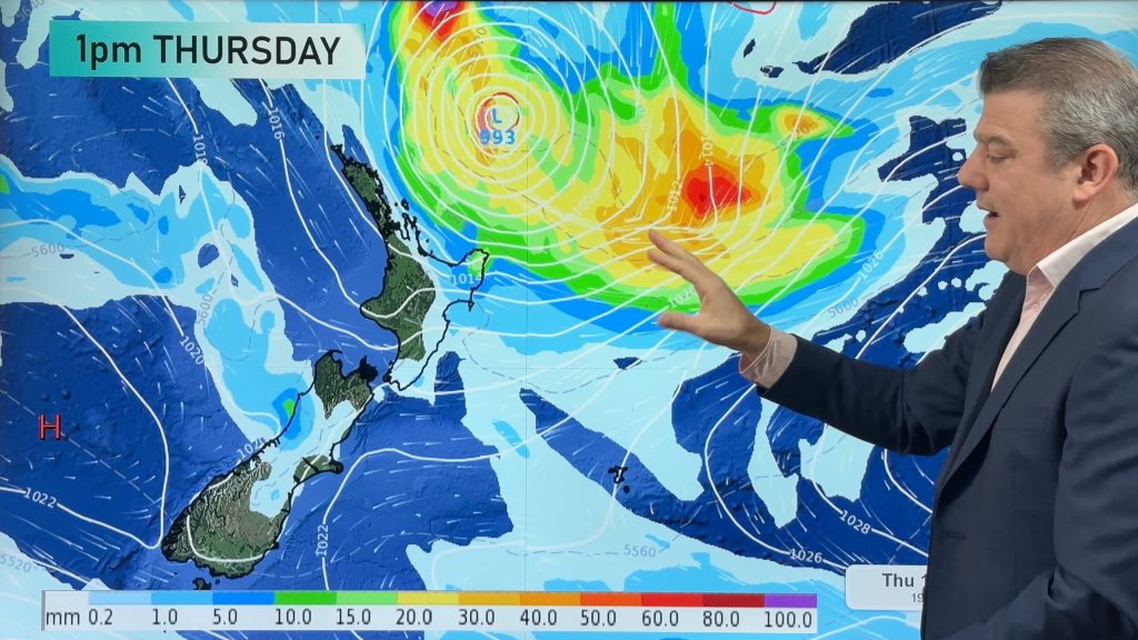
Rain is expected for much of the island today. However, the heavy rain threat will be sliding south.
Some heavy falls are still possible about Northland, Auckland and the Coromandel Peninsula early this morning. The threat for heavy rain then moves to Hawkes Bay and Gisborne for late this morning into this evening. Government forecaster MetService is continuing their heavy rain warnings for these areas.
The other issue today will be wind. MetService has also posted warnings for strong winds for Taranaki, Taupo, Wellington and the Kapiti Coast. South to southeast gales could approach 100-120 km/h in exposed areas.
On the South Island, Nelson and Marlborough are expected to see some wind and rain today. But the rest of the island is looking dry and settled. Plenty of sunshine is expected and temperatures should be topping out around 20 for most areas. Central Otago could see highs closer to 25.
By WeatherWatch Analyst Howard Joseph
Comments
Before you add a new comment, take note this story was published on 19 Mar 2012.


Add new comment
Gabe on 19/03/2012 7:44pm
Not a lot of sleep last night! In 6 yrs this is the worst wind we have experienced. Heavy garden furniture turned and rolled – trees down. It sure is wild and shows no signs – at this point – of giving up. We just hope no one has been hurt anywhere.
Reply