> From the WeatherWatch archives
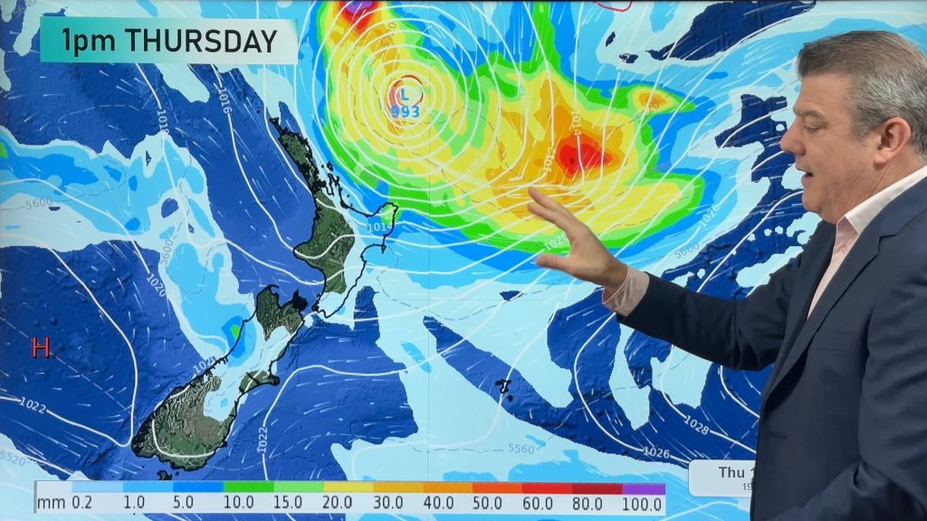
A tropical cyclone named Funa is on track to move over New Zealand within the next 72 hours according to the Radio Network’s Weather Watch Centre. Head weather analyst Philip Duncan says the storm is a nasty one and warns boaties in northern parts of the country to keep up to date with marine forecasts. “At this stage the tropical cyclone should lose a significant amount of it’s strength shortly before moving past Northland on Monday. In saying that, very large swells are expected especially on eastern and northern coastlines along with severe gales. Swimmers should also take extreme care due to strong rip tides over the next few days”.
The tropical cyclone, which will be a tropical depression when it arrives in New Zealand early next week, will bring much needed rain to dry parts of the country. “Waikato and Bay of Plenty should get some good rainfall as should Marlborough and Nelson later in the week. Some rain may also make it over the Southern Alps into Canterbury and Otago but how much is unknown at this stage”.
Duncan says strong winds will rise to gale in exposed parts of northern New Zealand roughly north of Auckland but again it’s too early to say if the winds will be strong enough to cause damage to property. “As with any Tropical Cyclone they can be quite unpredictable and we’ll need to wait and see if rain and wind warnings are issued or not”.
We’ll have more details on this system tomorrow.
Comments
Before you add a new comment, take note this story was published on 18 Jan 2008.


Add new comment