> From the WeatherWatch archives
The Southern Ocean is becoming increasingly active lately as the sun spends more time in the northern hemisphere following the Autumn Equinox earlier this week.
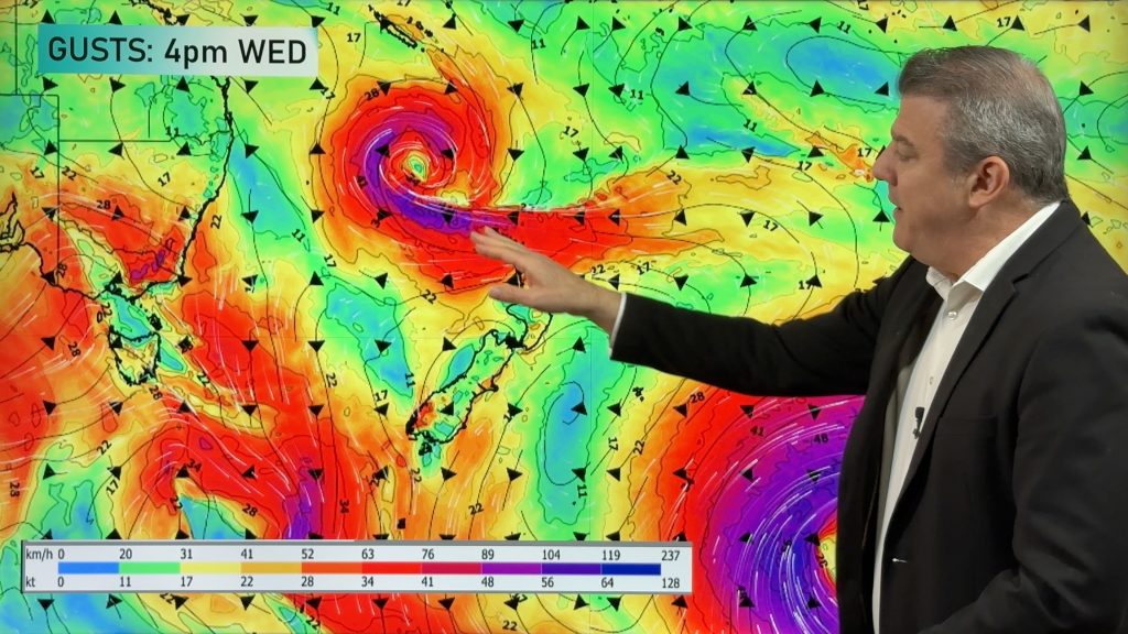
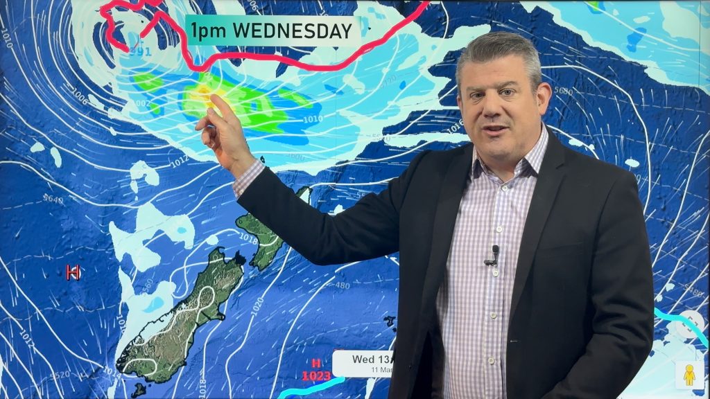
Over the next few days stormy weather will move into the West Coast and Southland bringing rain, heavy in the west and possibly gales to Southland.
Strong, warm to hot nor’westers will continue over Canterbury today with northerlies picking up over Wellington and the lower North Island.
Comments
Before you add a new comment, take note this story was published on 25 Mar 2009.


Add new comment
JohnGaul on 26/03/2009 9:01am
Don’t be too haste about issuing this statement, Phil. The Southern Ocean is about to issue an intense anticyclone of about 1040hPa over the South Island next week.
JohnGaul
NZThS
Reply
WW Forecast Team on 26/03/2009 9:19am
Just the small one that M/S has issued rain warnings (and at the time of that story a wind watch) for Westland and Southland. As I say, just going to clip it. Nothing major.
And yes, I see that big high moving in…could play a role in bringing strong winds between the high in the south and the low in the north next week.
Cheers!
Reply