

> From the WeatherWatch archives
All warnings have now been lifted as of 7:30pm.
Comments
Latest Video
18/09/2026 11:51am
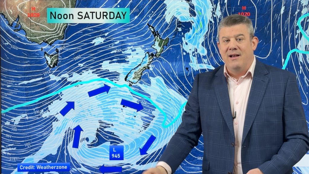
Weekend gales, frosts & polar air next week
Low pressure is today over the upper North Island, replaced by a surge of gale west to south-west winds this…
Related Articles
18/09/2026 11:51am
Weekend gales, frosts & polar air next week
Low pressure is today over the upper North Island, replaced by a surge of gale west to south-west winds this…
17/09/2026 12:12pm
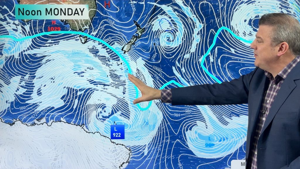
Rain, showers, frosts – then windy again
In true early-spring fashion we have more windy weather on the way, but first low pressure is crossing the country…
16/09/2026 11:49am
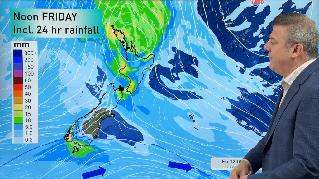
Cold front, low pressure, then windy westerlies kick back in
A cold front is today and tomorrow moving into the country, with coldest weather in the southern half of the…


Dannielle on 27/01/2010 10:19pm
on weatherwatch.co.nz they have updated at 10pm that Hamilton got the extrememe warning for thunderstorms and then now they are moving up to Ngaruawahia, and Huntly … Mercer and pokeno … towards Auckland …
However the doubt there will be enough power to get to The city of sails
In Papakura there is alot of activity looking south towards to Bombay hills …
Today at 4.30pm we have a bolt of lightning hit one of the transformers down our road, and power was out for a good 21/2 hours!
Hopefully, we get more 🙂
hamo on 27/01/2010 7:05pm
We have a fast moving thunderstorm rolling past us at present again in Rukuhia 7.00pm no rain yet, but lots of thunder
Ryan on 27/01/2010 6:22pm
The sky is very dark to the south of Rotorua and I can hear frequent claps of thunder; and its just starting to rain here now. Looks like the edge of the storm may scrape the city but the worst is heading towards Murupara/Galatea way by the looks of it.
Ryan on 27/01/2010 6:57pm
Woah looked like it was going to miss us but all of a sudden the blue sky is gone and there are very frequent thunder claps from Springfield. Rain starting to come down too.