> From the WeatherWatch archives
More heavy rain is possible over the next 24 hours, although it should not be quite as intense or widespread as we have seen the last few days.
Still, any additional rain on top of already saturated ground will only aggravate existing flood problems.
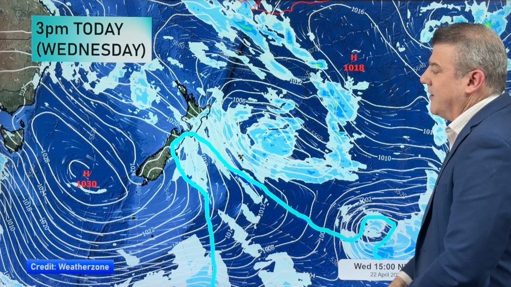
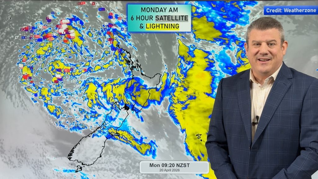
Areas of rain are currently over eastern Bay of Plenty, East Cape/Northern Gisborne, the far western North Island, Taranaki and the upper South Island.
As we go through the afternoon, showers should increase. Most areas will have a pretty good chance for seeing a shower or two late this afternoon and tonight. The deep south, however, could remain dry.
Heavy rain is still a threat this afternoon for the Bay of Plenty, Taranaki, Nelson and Marlborough. Government forecaster MetService is maintaining their Heavy Rain Warnings for these areas.
Another round of widespread showers is expected about the country tomorrow. However, the threat for heavy rain will be low.
-WeatherWatch.co.nz
Comments
Before you add a new comment, take note this story was published on 21 Apr 2013.


Add new comment