> From the WeatherWatch archives
It’s what North Island farmers have been desperately wanting – rain back in the forecasts. After what was the driest spring on record for parts of Northland and Auckland “solid” rain fell across a number of places on Tuesday and now WeatherWatch.co.nz says more is on the way.
“We have a sub-tropical low coming down from the north west on Thursday and Friday” says head weather analyst Philip Duncan. “We expect this low to bring even more rain than the frontal band did on Tuesday – perhaps two or three times as much for some areas”.
Mr Duncan says the low is pulling down moist, humid, air from the tropics which is exactly what farmers in Northland, Auckland and Waikato need most.
“We may be seeing rainfall numbers over 40mm for many areas over the duration of the low pressure system. It’s possible even higher numbers for some”.
Mr Duncan says the weather data is “90% confident” of rain this Friday in the upper North Island.
The low, which will drift past the west coast during Friday and Saturday won’t be the last rain maker before Christmas either.
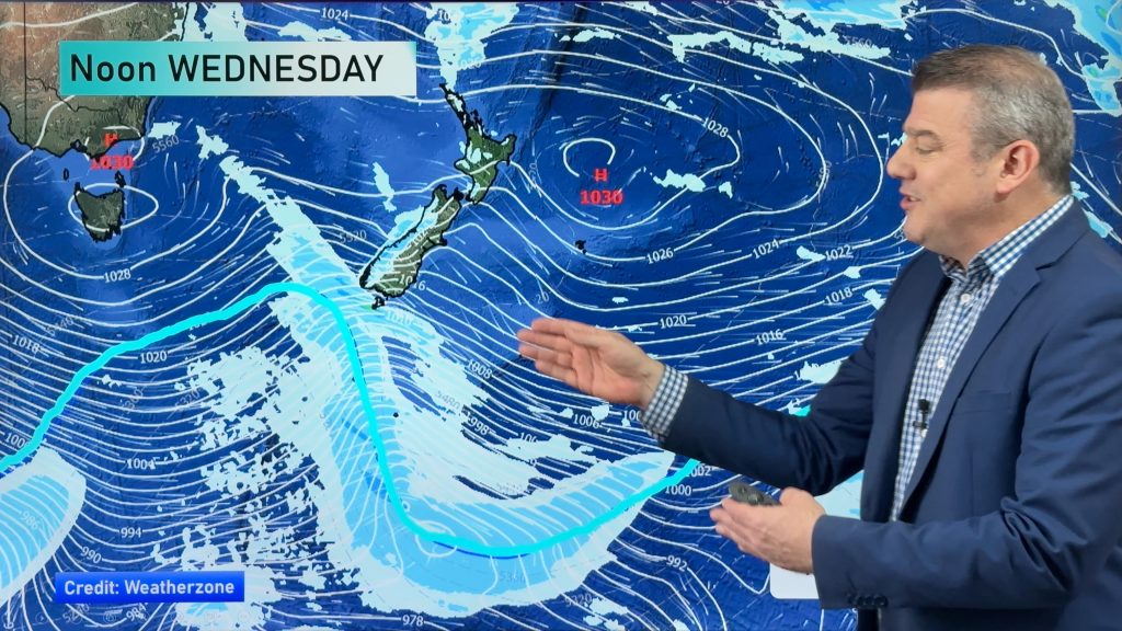
WeatherWatch.co.nz says showery conditions may last right through until next week, with a much larger, more aggressive, low pushing off Tasmania and towards the South island.
“It’s too early to say if this will be a ‘storm’ but it’s certainly looking aggressive on the weather maps. it all depends on if it crosses the Tasman Sea or drops down into the Southern Ocean as to how much it will affect the country”.
Rain from this larger low may move into parched regions of the lower North Island and the upper South Island.
On Tuesday rain fell across much of the upper North Island with numbers ranging mostly between about 10 and 20mm, as predicted by WeatherWatch.co.nz.
Low cloud and drizzle lasted in Wellington all day. The capital is in desperate need of rain and none is expected for the rest of the working week.
Homepage image / www.MandenoMoments.com
Comments
Before you add a new comment, take note this story was published on 14 Dec 2010.


Add new comment
Julz on 15/12/2010 1:26am
You guys might want to review your forecast! MetVuw is predicting a lot of rain for Wellington! What are you picking for Christmas?
http://metvuw.com/forecast/forecast.php?type=rain®ion=nzni&noofdays=7
Reply
WW Forecast Team on 15/12/2010 1:47am
Hi Julz, you’re quite right, the models have changed a bit today (this low was always going to be a bit tricky as it’s not a very strong low). The latest models – GFS – which I believe MetVuw use, shows rain moving over the Wellington region Thursday pm/ and over Friday. Still a bit messy though… I think the model update tonight will be the most accurate – ie, will either confirm a drier forecast or a wetter one… here’s hoping for the latter.
Re: Christmas – we’ll have a forecast out tomorrow on that one – for all of NZ!
– WW
Reply
RW on 14/12/2010 10:07pm
Yes, there has not been much rain in Wellington, but after a sunny start the last 10 days have been very cloudy overall. Sun finally breaking through now after 36+ hours of clag.
Reply