Northern NZ: It’s raining rain, hallelujah! We crunch the latest numbers
15/02/2017 10:06pm

> From the WeatherWatch archives
UPDATED 11:06am — With a very slight shift to the west we need to crunch the rainfall numbers again. We have the latest.
Rain in Northland has been steady and even heavy at times since late yesterday. A mix if light rain and heavier falls will continue today with daytime heating creating more intense downpours across the upper North Island.
The rain is now moving into Auckland and Waikato – mostly light for now but heavier more set in falls are likely across the regions as the day goes on.
Yesterday we reported that the rain band was intense but narrow – roughly about the width of Northland, so a slight jog left or right (west or east) may see lighter falls for some, heavier for others. Today the latest data shows a very slight westwards lean to this front, indicating that those in the western side of Northland and Waikato may get some of the heaviest falls.
This very slight western shift may mean eastern areas of Northland and larger parts of Bay of Plenty miss out on totals over 60mm.
Auckland is a tricky region to work out from this event – but we believe most farmers and growers will be pleased with the steady nature of the rain. Heaviest falls in Auckland appear to be overnight tonight and Friday morning. We expect the region to get between 40mm (on the eastern islands) up to 80 or 90mm in the ranges. The city should be roughly between 50 and 70mm over the next few days.
Hamilton (which is western) may receive as much as 120mm from this event – while eastern areas like Whangarei may only get 50 or 60mm.
Keep an eye on the tax funded rain radars at MetService and the free rain maps here at WeatherWatch.co.nz.
As we said yesterday, this rain will put a significant dent in the drought – but for some it may not be quite enough to end it. It’s still going to be a very wet day or two for northern New Zealand and it’s only just starting now.
This slight western jog of the rain band may also limit what Gisborne receives but possibly increase rain in the Whanganui River catchment.
Hawke’s Bay is still expected to receive 60mm in some areas, possibly higher in the ranges. But northern parts of the region like Wairoa may be closer to 30mm.
Wairarapa may also receive 60mm in some areas, although the rain band will be weakening as it moves into the lower North Island.
Please note these rainfall totals are best estimates based on the latest data, our geography (mountains/ranges) and the unusual nature of this set up.
What about Christchurch and the Port Hill fires?
Sadly we don’t expect much rain for Christchurch in the next 10 days. Winds will be blowing from the ENE to NE at 30 or 35km/h today and the next couple days – this is not ideal for fighting fires as it’s fairly windy and a mild wind direction. While there is a moderate chance of some drizzle on Friday and a few showers on Saturday morning this won’t be very much at all. The long range forecast also looks fairly dry: www.weatherwatch.co.nz/weather-forecasts/christchurch

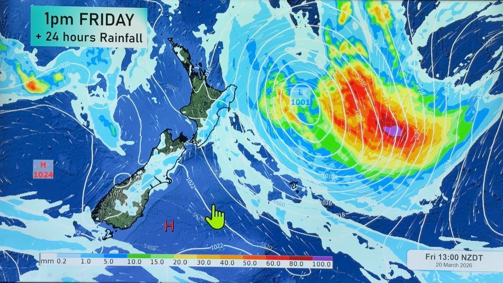
– Image / 9am Rain Radar Forecast Map
– WeatherWatch.co.nz
Comments
Before you add a new comment, take note this story was published on 15 Feb 2017.


Add new comment