
> From the WeatherWatch archives
A southwesterly airflow lies over New Zealand on Monday, moving around a large high centred in the Tasman Sea.
In the west from Taranaki through to Northland expect cloudy areas and occasional sun, the odd shower at times also with southwesterly winds. The Manawatu has some morning cloud then becoming mostly sunny, mainly sunny for the Bay Of Plenty and Gisborne down through to Wellington in the east.
The West Coast of the South Island has a mainly cloudy day, perhaps a light shower or two also mainly for North Westland. Parts of Fiordland especially northern Fiordland may see areas of sun. Nelson, Marlborough and Canterbury has a mainly sunny day with perhaps a few wisps of high cloud. Otago is mainly sunny for the northern half and central areas, south of Otago Peninsula expect some cloud. Southland has cloudy areas during the day and the risk of a shower or two, winds breezy from the west or southwest.
Temperatures in the low to mid teens for much of the South Island, mid to high teens for the North Island. The Bay Of Plenty and eastern Northland has the warmest highs.
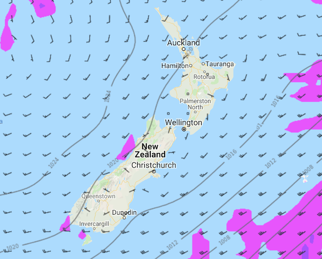
Image: Monday 20th May 2019 3:00pm MSLP / rain map – weathermap.co.nz
WeatherWatch.co.nz
Latest Video

Matariki, the long weekend + the outlook for next week
Wet weather and cloud continues along the eastern side of the country with the heaviest rain now moving into northern…
Related Articles
Matariki, the long weekend + the outlook for next week
Wet weather and cloud continues along the eastern side of the country with the heaviest rain now moving into northern…

More eastern rain, but a drier long weekend coming
Rain continues today along the eastern South Island and lower North Island, coming in from the east with heavy falls….

More heavy rain, snow – but large dry areas, especially as we go into the long weekend
Heavy rain will continue for parts of Canterbury and Marlborough over the next day or two and it will gradually…

