> From the WeatherWatch archives
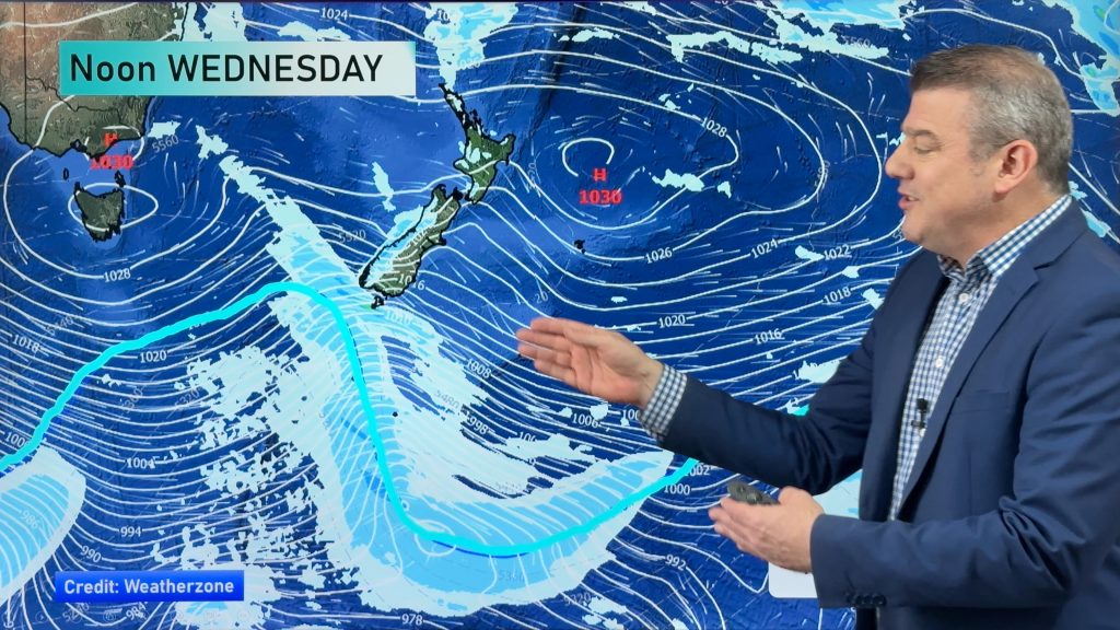
Weather conditions are fairly varied across New Zealand this afternoon as warm, humid, northerlies affect the north and cool southerlies push in to the south.
In Auckland and other northern centres the mercury is pushing towards 20 degrees with Auckland currently on 19.
Low cloud smothered the city this morning with the cloud base nearly reaching sea level for a time. Drizzly showers have been falling off and on all day although sunny spells are starting to break through as we head into the middle of the afternoon.
While rainfall totals haven’t been huge, farmers in the upper North Island will no doubt be thankful for the top up as drier than usual conditions extend across some areas.
In Wellington it’s 14 degrees with a northerly wind and that forecast isn’t expected to change until Thursday when a late southerly change arrives – bringing snow to the ranges.
An easterly in Christchurch has the temperature on 15 degrees this afternoon as a weak front moves in. The front isn’t going to deliver very much with just a few isolated showers expected. A cold change on Thursday will see snow falling to sea level and lingering until Friday before clearing.
And Dunedin has a cold south westerly and 11 degrees this hour – snow is in the forecast for Thursday and Friday too – and we’ll have more details at 5pm about the snow.
– WeatherWatch.co.nz
Comments
Before you add a new comment, take note this story was published on 30 Aug 2011.


Add new comment
RW on 30/08/2011 2:39am
Up to 9am on 30th, almost the entire North Island was at least 0.5C below average for the month – SI has warmed up more markedly after the cold snap, but 30% of it is also at least 0.5C below average. I would guess the monthly mean for NZ will be about 0.5C-0.8C below average. Consolation is that nearly all of the SI and much of the NI has also been considerably sunnier than average – Nelson & Blenheim already well in excess of 200 hours.
(above based on data from NIWA’s Climate Explorer).
Reply
Guest on 30/08/2011 2:23am
Hi.
How come not much warning yet of forecast snow to low levels in Canterbury being only 48hrs out?
There was much more prior commentary the previous two times warning everyone to watch out etc.
Regards
Al.
Reply
WW Forecast Team on 30/08/2011 2:33am
Hi Al,
That’s because the last two events were much bigger – especially the last one! This one is only small and snow to sea level – while possible – isn’t expected to be heavy enough or widespread enough to cause major problems.
Snow in winter across these regions is actually normal – what isn’t normal is when *heavy* snow falls to sea level.
We’ll have a more detailed run down around 5pm on what is coming.
Cheers
Philip Duncan
Reply