Intense rain erupts over parts of the North Island, flash flooding in Hawke’s Bay – more to come
8/03/2018 3:20am

> From the WeatherWatch archives
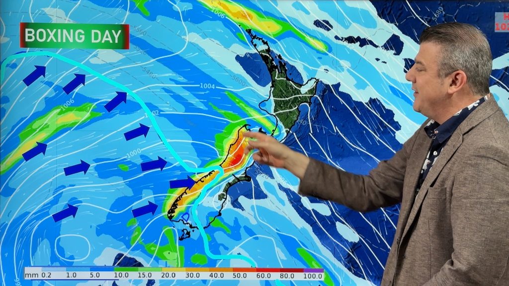
A large low over Northland is creating intense downpours of rain across parts of the North Island causing significant flash flooding in Hawke’s Bay, road closures and intense rainfall totals.
Places like Esk have had over 300mm since last night and the Esk River has burst its banks. The rain has caused road closures today, power cuts and school closures – and some downpours are getting heavier.
WeatherWatch.co.nz says it’s not going to clear until Friday afternoon for some parts of Hawke’s Bay. The torrential rain and heavy downpours are being caused by a unique set up that sees a low centered over Northland, a sub tropical air flow to the east being pulled in to it and a strong south easterly all converging around Hawke’s Bay and now central parts of New Zealand. The ranges in Hawke’s Bay are helping intensify the rain in the east leading to incredible rainfall totals in some places and the flooding.
Heavy rain will continue in Hawke’s Bay tonight, overnight and into Friday morning however not all areas are affected, the lines of rain are a bit fractured.
The sub-tropical portion of airflow snakes right up to near Cyclone Hola, but the rain in New Zealand isn’t being caused by the tropical cyclone. But this tropical airflow is also being pulled into the low pressure system over Northland and convergence is occurring in Hawke’s Bay and the ranges.
There are isolated thunderstorms developing in South Waikato, Waitomo area and inland parts of Bay of Plenty too.
Check with your local Civil Defence, MetService warnings and thunderstorm outlooks and your local news outlets for more details, also the rain maps and hourly forecasts at WeatherWatch.co.nz.
About 6 months rain in 24 hours. And cyclone #Hola is still heading out way!!
— James Morrison (@weatherbom) March 8, 2018
 – Earth.nullschool.net’s wind map showing where the three intense rainfall risk zones are in blue. ZONE ONE – The main one, highlighted with the green circle, in Hawke’s Bay. ZONE TWO – out to sea east of Auckland, may affect Coromandel Peninsula and southern rural parts of Auckland. ZONE THREE – South Waikato, Waitomo, Taupo, inland southern Bay of Plenty.
 – 4pm Public rain radar / funded by the taxpayer, owned by the NZ Government.

– A low over Northland and Cyclone Hola north of Noumea. A tropical flow with thunderstorms and heavy rain connects the two – WeatherWatch.co.nz
– WeatherWatch.co.nz
Comments
Before you add a new comment, take note this story was published on 8 Mar 2018.


Add new comment